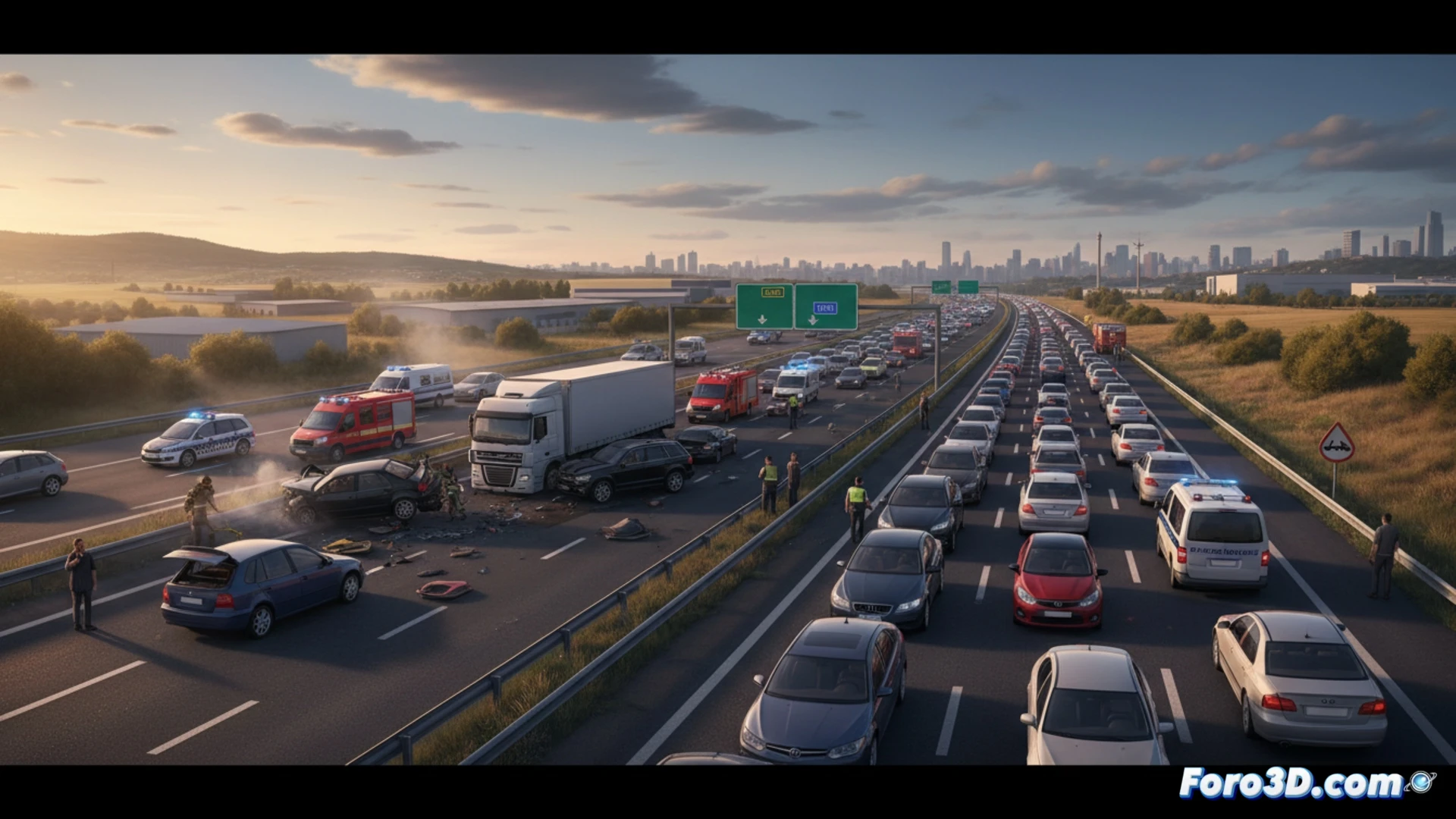
On April 30, an accident on the A-5 near Arroyomolinos forced the closure of the left lane, generating several kilometers of traffic jams. Fortunately, no serious injuries were reported. This type of incident, seemingly routine, is ideal for applying advanced documentation techniques. At Foro3D, we analyze how photogrammetry and laser scanning allow capturing every detail of the scene for subsequent virtual expert analysis.
Photogrammetry and laser scanning in scene capture 🚗
To document an accident like the one on the A-5, the protocol begins with closing the affected lane. The team deploys a terrestrial laser scanner that generates a point cloud with millimeter precision, recording the final position of the vehicles, skid marks, and the road's superelevation. Simultaneously, a photogrammetry session is carried out with drones or high-resolution cameras. Processing software, such as RealityCapture or Metashape, ortho-rectifies the images to create a textured 3D model. This model allows measuring distances between impacts and calculating the asphalt's friction coefficient, crucial data for dynamic reconstruction.
Prevention and road safety through digital twins 🛡️
Beyond mere documentation, the 3D model of the accident in Arroyomolinos serves to simulate alternative trajectories and evaluate visibility from the impact point. By importing the point cloud into vehicle dynamics software like PC-Crash, experts can determine whether the speed was appropriate or if factors such as sun glare existed. This analysis not only clarifies the causes but also provides objective data to improve signage on that stretch, turning an incident without injuries into a technical lesson for future road safety.
Would you combine scanning with photogrammetry?