3D technology allows notaries to document properties with millimeter precision, eliminating errors in boundaries and surfaces. A clear example: when certifying an inheritance with several rural properties, a laser scanner captures the terrain in minutes. The necessary programs are Autodesk ReCap for processing point clouds and SketchUp for modeling legal plans.
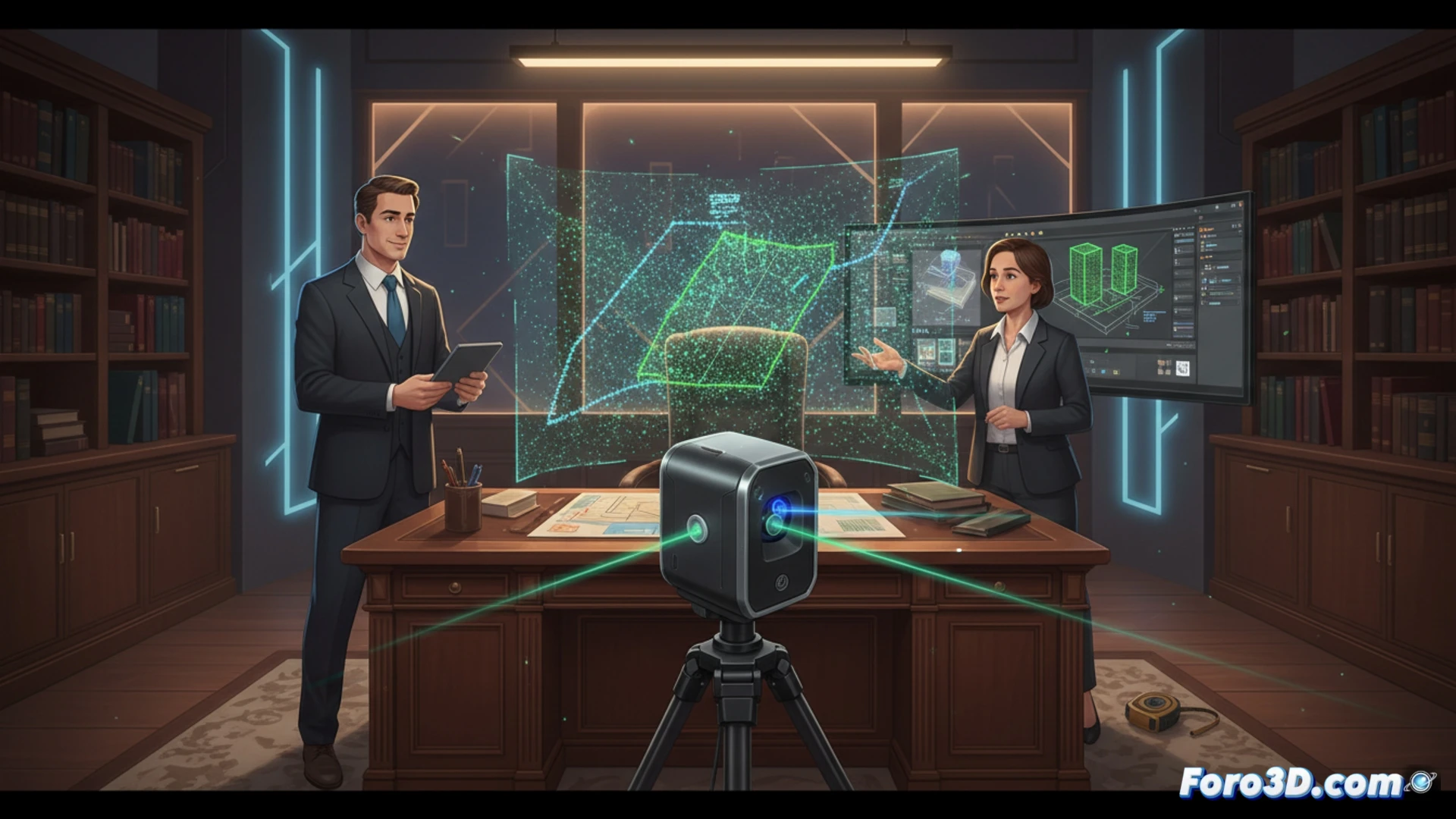
Digital survey with laser scanner and photogrammetry 🏗️
For an accurate survey, a scanner like the Leica BLK360 or even a drone with a high-resolution camera is used. The workflow involves capturing data, processing it in software such as RealityCapture or Agisoft Metashape, and exporting a model in OBJ or STL format. The notary can then verify measurements and generate a notarial deed using a 3D viewer like MeshLab, without relying on external surveyors.
The notary who asked for a 3D selfie of their plot 🐓
Imagine a notary arriving at a property with a handheld scanner, like a tourist with a 360 camera. After scanning the terrain, they discover that the boundary listed in the 1950 deed is three meters away from where the neighbor has the chicken coop. The best part: the 3D model doesn't lie, even if the rooster crows offbeat. In the end, the client pays less than if they called a surveyor, and the notary saves themselves a headache.