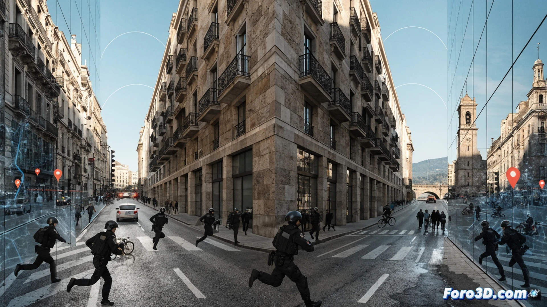
The Mossos d'Esquadra have modified their traffic control strategy in the province of Girona. The reason is that applications like Google Maps and Waze alert drivers to the location of checkpoints, allowing them to easily avoid them. To regain effectiveness, officers have opted for a dynamic system: brief, rotating checks at multiple points, with no fixed schedule.
Police technology catches up 🚔
The Mossos' solution is simple but effective: carry out express checks lasting less than ten minutes at changing locations. By not staying in one place long enough, app alerts arrive too late or are useless. This dynamic method forces drivers to follow the rules at all times, as they don't know where or when the next checkpoint will appear. Navigation technology is no longer an infallible shield against authority.
Goodbye to the app that saved your weekend 📱
So you know, driver. That app that warned you about the breathalyzer checkpoint while you were coming back from dinner is now useless. Now the Mossos are like asphalt ninjas: they appear, fine, and disappear. The good news is that if you don't drink and respect the rules, you have nothing to fear. The bad news is that you've lost your favorite excuse for justifying that detour down the back road.