Forensic Simulation Recreates Black Ice Patches in Accidents
Determining the real cause of a traffic accident often requires going beyond human testimony. Digital forensic engineering now employs advanced technology to analyze whether an accident was due to driver failure or to dangerous and unavoidable conditions of the roadway, such as the dreaded black ice. 🔍
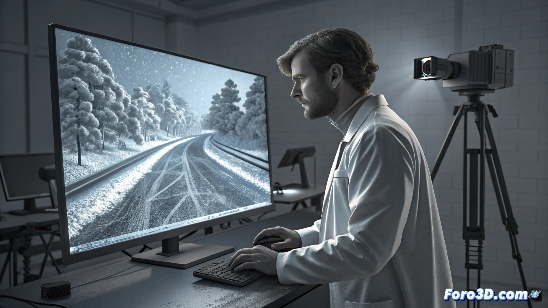
Capturing the Scene with Millimeter Precision
The first step is to document the scene with maximum accuracy. For this, a LiDAR scanner is used along with a FLIR thermal camera. These devices record the complete geometry and surface temperature variations of the pavement. Subsequently, this data is processed in software like Agisoft Metashape to generate a photorealistic and georeferenced 3D model. This digital model serves as the objective basis for the entire analysis.
Key Equipment and Software in the Capture Phase:- LiDAR Scanner: Measures distances with laser to create an ultra-precise 3D point cloud.
- FLIR Thermal Camera: Detects temperature differences on the surface that may indicate moisture or ice.
- Agisoft Metashape: Applies photogrammetry techniques to build the 3D model from captured images and data.
The truth of the accident is not always visible to the naked eye; sometimes, it is hidden in thermal data and the microscopic geometry of the asphalt.
Simulating the Invisible Formation of Danger
With the 3D road model ready, the next step is to recreate past environmental conditions. The model is imported into Ansys Fluent, a powerful computational fluid dynamics (CFD) software. Here, a thermo-fluid-dynamic simulation is run using historical meteorological data. This simulation virtually calculates how water seeps into the pavement, how it freezes and expands, determining the exact formation, thickness, and extent of the black ice patch at the critical moment. ❄️
CFD Simulation Process:- Data Integration: The 3D model is combined with temperature, humidity, and precipitation records.
- Heat Transfer Calculation: The software simulates how cold penetrates the pavement and freezes the present moisture.
- Definition of Risk Zones: The result identifies areas of the roadway with low grip due to ice.
Reconstructing Vehicle Dynamics on Ice
The information on low-grip zones generated in Fluent does not remain in the theoretical realm. It is exported and integrated directly into PC-Crash, specialized software for reconstructing traffic accidents. In this environment, the behavior of the specific vehicle is simulated on the recreated icy surface. This allows technical verification of whether, given the demonstrated physical conditions, the driver had a real chance to avoid the accident or if it was unavoidable. The process provides objective and quantifiable technical evidence for the final forensic report. 🚗💨
The next time a vehicle loses control, the answer might not be in the steering wheel, but in a complex physical phenomenon that a computer simulation model has irrefutably demonstrated.