When Logistics Meets Meteorology
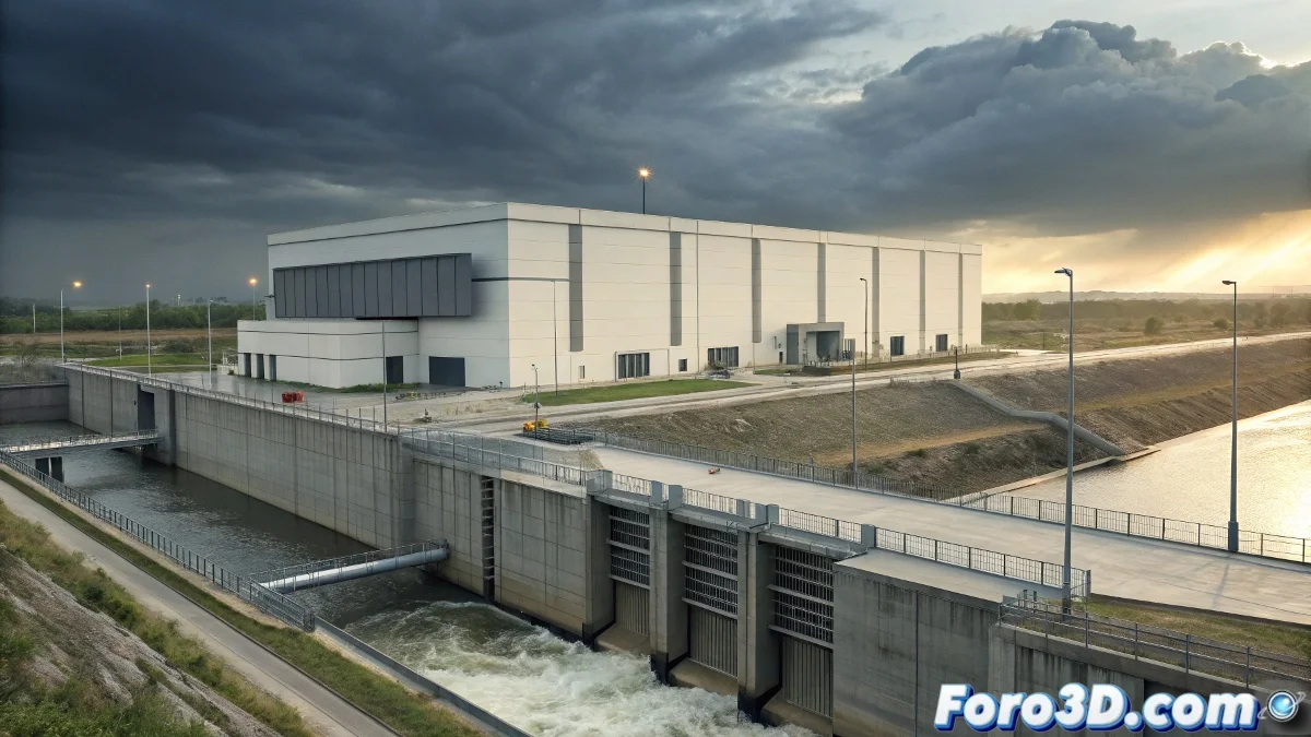
Amazon has announced a 14 million euro investment in its logistics center in Zaragoza to implement advanced flood prevention systems. This decision comes after the severe floods of 2021 that significantly affected its facilities in the PLAZA logistics platform, causing millions in damages and operational disruptions. The multinational thus acknowledges the vulnerability of its infrastructure to extreme weather events.
The project includes the installation of mobile perimeter barriers, accelerated surface drainage systems and emergency pumping, as well as improvements to the waterproofing of loading docks. These measures aim to guarantee the operational continuity of what is one of Amazon's key distribution hubs in Southern Europe, especially crucial during high-demand periods like Black Friday or Christmas.
When it rains on wet ground, tech giants also bring out the umbrella
Initial Project Configuration in AutoCAD
The representation of this hydraulic engineering project requires meticulous configuration in AutoCAD. We begin by establishing the appropriate coordinate system for the specific site in the Zaragoza logistics platform, using precise cadastral references. The creation of organized layers is fundamental to managing the complexity of the anti-flood project.
We configure decimal metric units with millimeter precision, essential for drainage elements and pumping systems. We establish standardized text and dimension styles according to Spanish civil engineering regulations, ensuring the resulting drawings are understandable for all parties involved in the project.
- Creation of a custom template with predefined layers
- Configuration of drawing units and precision
- Establishment of standardized text and dimension styles
- Definition of dynamic blocks for repetitive elements
Site Plan and Geographical Context
The first situational plan shows the exact location of the Amazon logistics center within the context of the PLAZA platform. We import the base cartography from the National Geographic Institute, highlighting the contour lines and natural watercourses that converge in the area. This plan demonstrates why this location is particularly vulnerable to water accumulation.
We overlay historical flood data, marking the water levels reached during the 2011 episode. This contextual information is crucial to understanding the magnitude of the problem and the need for the investment. The plan includes references to existing road and hydraulic infrastructures that interact with the project.
- Import of base cartography at 1:1000 scale
- Representation of contour lines every 0.5 meters
- Delineation of historical flood zones
- Identification of surrounding critical infrastructure
Planimetry of the Perimeter Barrier System
We develop detailed plans of the perimeter anti-flood barriers, showing their arrangement around the 200,000 square meters of the logistics warehouse. These barriers consist of removable metal panels that are installed when heavy rain alert protocols are activated. The plans specify anchors, watertight seals, and fastening systems.
We use cross-sections to show the barrier profile, their containment height (1.2 meters), and their integration with the existing pavement. The dimensions indicate critical distances relative to loading docks and maneuvering areas, ensuring the protection does not interfere with normal logistics operations.
Design of the Surface Drainage System
The technical heart of the project lies in the accelerated drainage system. We represent, using differentiated polylines, the networks of surface channels, high-capacity drains, and settling chambers. Each element is drawn with its specific layer code, allowing selective visualizations based on the component type.
The drains are sized to capture peak flows of up to 200 liters per second, with anti-clogging grates specific to the logistics environment. The drainage pipes, with progressively larger diameters according to accumulated flow, converge towards pumping stations that push the water outside the critical perimeter.
- Delineation of the drain and channel network
- Specification of pipe diameters and slopes
- Location of inspection and maintenance chambers
- Connection with the main pumping system
Construction Details of Critical Elements
The details at scales 1:20 and