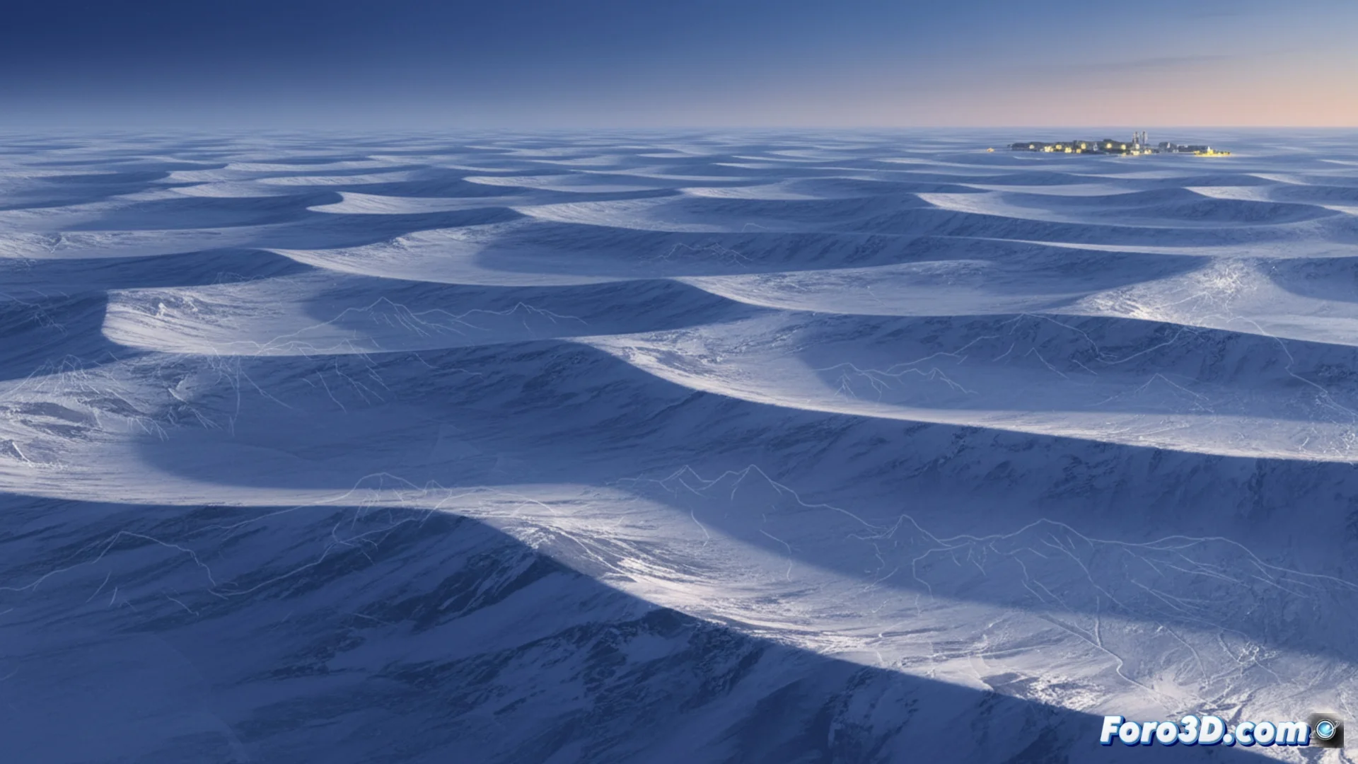
A new map shows the relief under the Antarctic ice
A global consortium of researchers has unveiled a detailed map that exposes the configuration of the rocky ground lying beneath the immense ice sheet of the Antarctic continent. 🗺️
A technique that avoids drilling
To achieve this milestone, the team does not need to drill through the ice. Instead, it examines information captured by satellites in orbit that record the minimal deformations in the frozen surface. These nearly invisible alterations reveal the silhouette of the buried terrain kilometers deep. The procedure integrates radar and laser altimeter measurements with the physical laws governing how ice flows. ❄️
Key satellites in the operation:- CryoSat-2 and ICESat-2: measure the height of the icy surface with extreme precision.
- Inverse modeling: by understanding how a viscous fluid (the ice) adapts to irregular ground, they can reverse the calculations.
- Bed inference: knowing the surface shape and movement allows inferring the hidden geometry of the bed.
This approach enables mapping vast and remote regions where obtaining direct seismic data is very difficult.
Bedmap3: a more precise model
The new version, called Bedmap3, refines and updates previous elevation models. It offers a finer spatial resolution and reduces error margins in critical areas. This information is vital for climate models that project how the ice sheet will respond to a warmer planet. 🌍
Crucial applications of the map:- Predict the future stability of glaciers and ice shelves.
- Calculate with greater certainty their potential contribution to sea level rise.
- Understand the bathymetry under floating ice shelves.
Glaciology from the desk
Thanks to this advance, experts can now study the white continent without the need for costly and harsh field expeditions, at least for an initial phase of analysis from their computers. The next field mission might only serve to update the desktop background with even fresher data. 💻