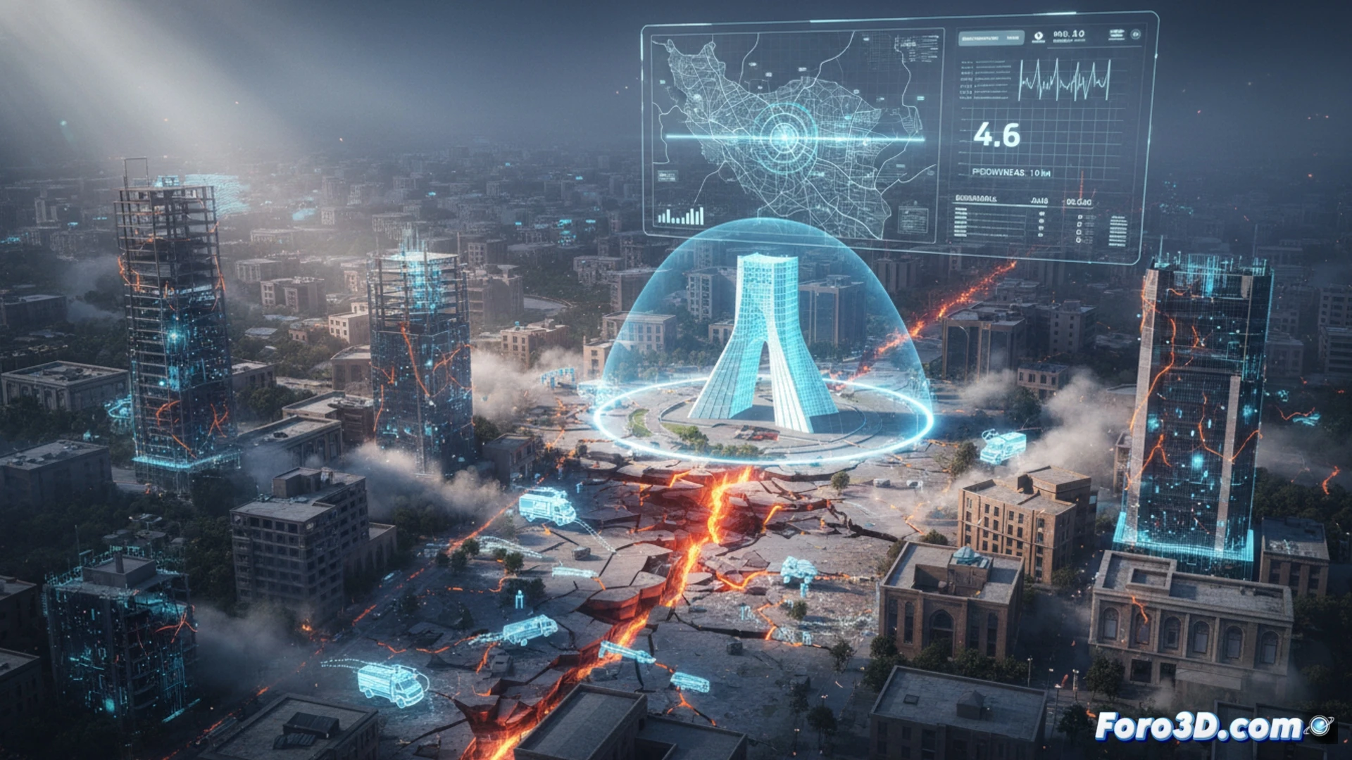
An earthquake of magnitude 4.6 on the Richter scale shook the capital of Iran, Tehran, causing alarm among its inhabitants. Fortunately, local authorities confirmed the absence of fatalities and significant material damage. However, this seismic event serves as a critical reminder of the vulnerability of large cities and the need for advanced prevention tools.
3D modeling of seismic waves and structural analysis 🌍
To anticipate the behavior of an earthquake, engineers turn to 3D simulation of seismic waves. Using geological data from the subsoil of Tehran, it is possible to digitally recreate the propagation of energy from the epicenter. These models allow calculating ground acceleration in different districts, identifying areas where resonance could amplify the movement. By integrating BIM models of old buildings, it is possible to predict which structures are most prone to collapse, thus optimizing immediate response resources and structural reinforcement plans.
Public awareness as a key tool 🧠
Beyond technology, 3D simulation also plays a fundamental role in public education. Virtual recreations of evacuation routes and seismic intensity maps help citizens understand the risks without experiencing real panic. By visualizing in 3D how the ground deforms or how bridges vibrate, the population of Tehran can internalize safety protocols. Prevention not only saves lives during the earthquake but also reduces collective anxiety, transforming fear into effective preparedness.
Would you export the results to GIS format?