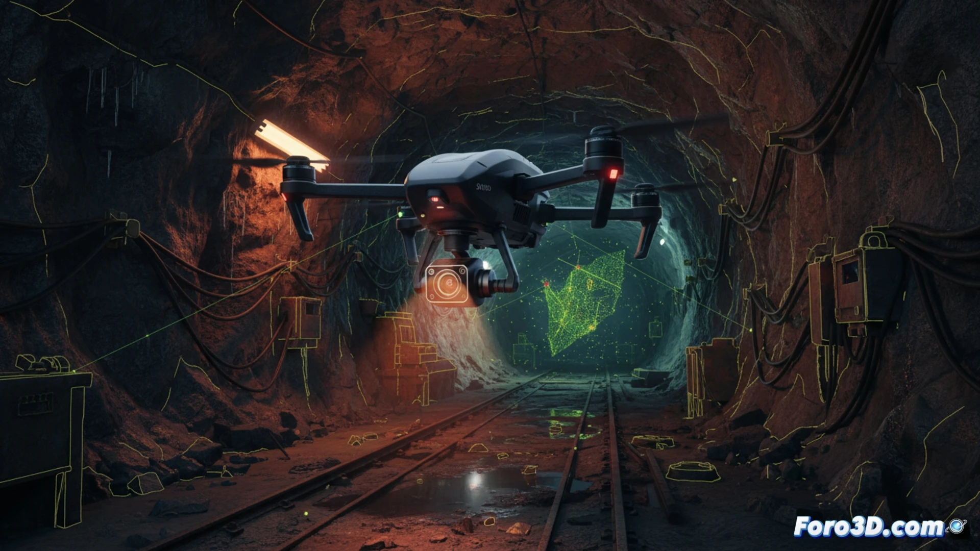
The Skydio X10 marks a before and after in geomatics applied to extreme environments. Equipped with NightSense, this industrial drone is capable of navigating in total darkness without human intervention, opening up unprecedented possibilities for nighttime topographic surveys. Its obstacle avoidance system, based on thermal and night vision cameras, allows operation in underground mines, tunnels, or critical infrastructure where natural light is nonexistent.
Integration of NightSense with LiDAR and Photogrammetric Sensors 🌙
The true innovation of the X10 is not just flying in the dark, but doing so while capturing high-precision data. Its ability to carry LiDAR sensors and photogrammetric cameras allows generating point clouds and 3D models in conditions where traditional drones fail. By eliminating the need for external lighting or human pilots, occupational risks are reduced in inspections of dams, slopes, or industrial chimneys. Compared to classic methods requiring scaffolding or helicopters, the X10 offers ten times greater efficiency in capture time, with submetric accuracy even in the most absolute darkness.
Are we witnessing the end of exclusive daytime topography? 🤔
The arrival of the Skydio X10 raises an uncomfortable question for the sector: if a drone can accurately map a quarry at 3 a.m., without a single operator on the ground, why continue limiting work to daytime hours? In civil engineering and mining, where road closures or production stoppages are costly, the ability to operate at night without sacrificing data quality is a paradigm shift. NightSense technology is not a luxury; it is a necessity for those seeking 24/7 productivity in geomatics.
As a geomatics professional, what practical limitations do you find in integrating LiDAR and photogrammetric data captured during nighttime flights with the Skydio X10 into 3D modeling workflows compared to those obtained in daytime conditions?
(PS: 3D topography is like making a treasure map, but the treasure is an accurate model.)