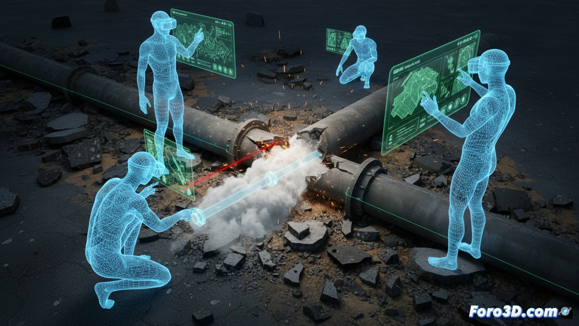
An excavation team drilled into an active gas pipe despite using Augmented Reality helmets that overlaid the buried utility map. The incident, which could have been catastrophic, was initially attributed to human error. However, subsequent analysis revealed a geographic registration error in the AR system: the digital pipe was displayed two meters away from its actual position. This case demonstrates that spatial positioning accuracy remains the Achilles' heel of industrial AR.
Digital vs. real comparison: the calibration error in Leica DX Manager 🛠️
To understand the failure, a 3D intervention was performed using Leica DX Manager to extract the digital model of the pipe that workers saw in their helmets. Subsequently, the actual location of the broken pipe was scanned with a terrestrial laser scanner. Both datasets were imported into CloudCompare for alignment and distance calculation. The result showed a systematic deviation of 1.8 meters on the X-axis and 0.6 meters on the Z-axis, attributable to an error in the reference datum used when importing the utility Shapefile into AutoCAD Map 3D. The real pipe was physically where the map said there was nothing.
Lessons for industrial AR: pre-verification as a mandatory protocol ⚠️
This incident underscores a critical lesson: AR is only as reliable as the georeferenced model that feeds it. To avoid future breaks, the workflow must include cross-verification of spatial registration before excavation. It is recommended to use CloudCompare to compare the digital utility model with a quick terrain scan, and to use fixed control points (GNSS beacons) to calibrate the AR overlay. The technology is promising, but without a datum verification protocol, the AR helmet can become a tool for digging in the wrong place.
What failures in the spatial calibration system of AR helmets could cause the buried infrastructure map to shift enough to hide the active gas pipe during excavation?
(PS: AR applied to maintenance allows you to see where the fault is... before the machine explodes.)