When an entire continent loses internet, the causes are not trivial. The rupture of a submarine cable due to a seismic sediment slide triggers a high-precision digital forensic protocol. Specialized teams deploy side-scan sonar and underwater photogrammetry to inspect the seabed, locate the exact fracture point, and determine whether the origin was a natural earthquake or the illegal action of a trawling net.
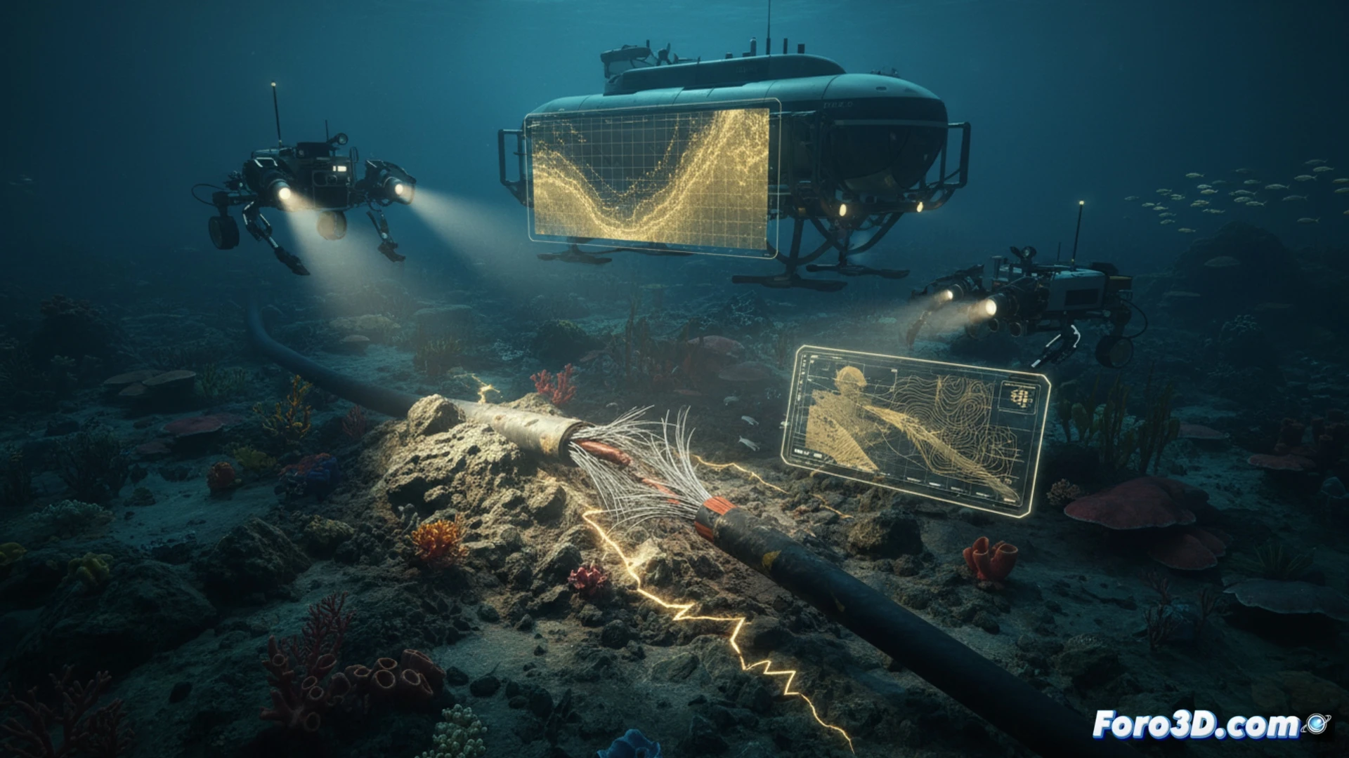
Locating the rupture point with sonar and underwater photogrammetry 🌊
Side-scan sonar generates an acoustic image of the seabed, revealing the morphology of the slide and the exact position of the severed cable. Simultaneously, underwater photogrammetry, based on ROV videos and images, reconstructs the affected area in 3D. Bathymetric data is integrated using Global Mapper, creating a digital terrain model. EIVA NaviSuite allows processing sonar data and virtually navigating the scene. CloudCompare is used to compare the current state of the seabed with historical data, identifying sediment deformation. Finally, Blender is employed to generate a realistic visualization of the event, simulating the slide and its impact on the infrastructure.
Differentiating between natural disaster and human impact 🔍
The ability to distinguish between a submarine earthquake and the drag of an illegal fishing net lies in the analysis of the damage signature. A seismic slide leaves a pattern of mass-removed sediment and a clean fracture of the cable, while a trawling net generates parallel grooves and abrasion wear. The combination of precise 3D models and the overlay of seismic data allows engineers to certify the root cause, facilitating insurance claims and the planning of safer alternative routes for future cable lays.
Would you export the results to GIS format?