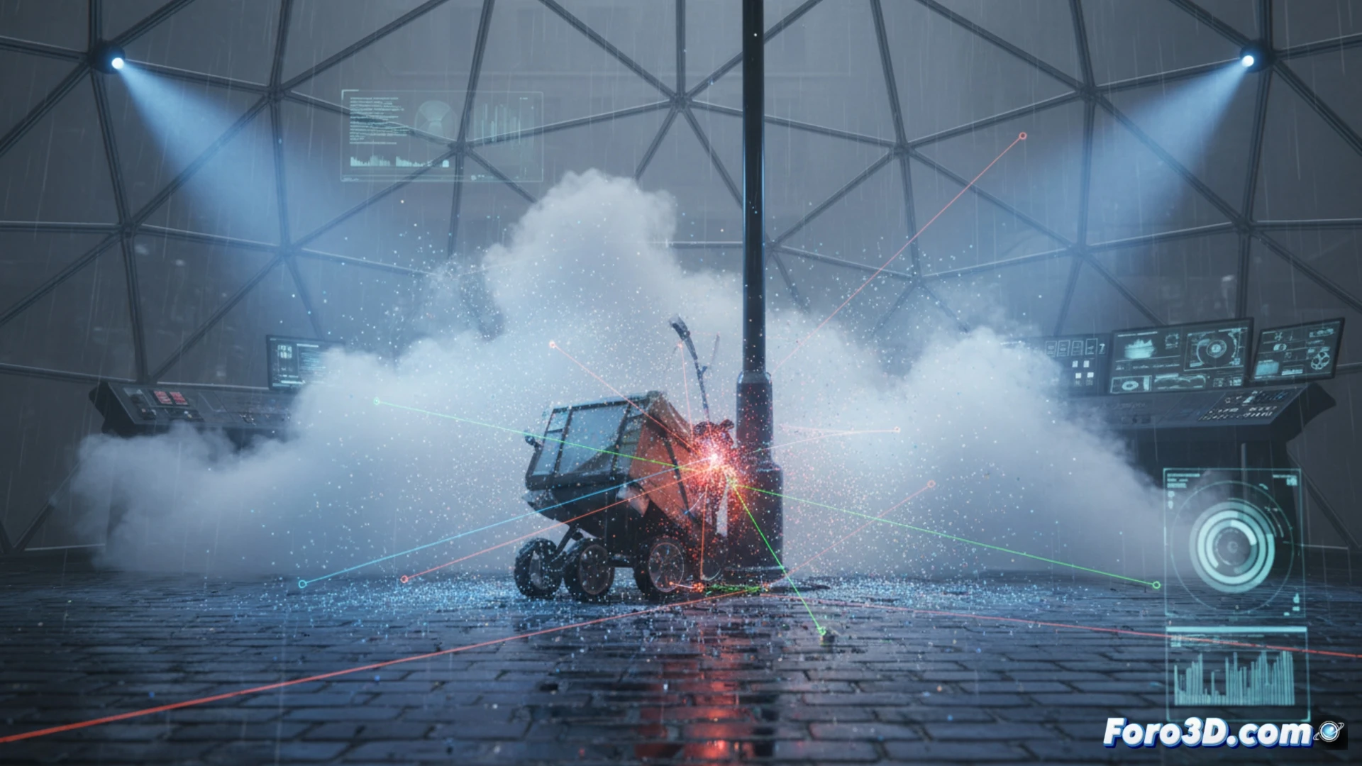
The collision of an autonomous delivery robot with a pedestrian in dense fog has challenged current perception systems. The 3D reconstruction of the scene integrates climatic and sensory data to determine whether the failure was algorithmic or environmental. This forensic analysis combines LiDAR point clouds, trajectories, and simulation to replicate the accident.
Technical workflow: from point cloud to climate simulation 🛠️
The process begins with importing data from LiDAR sensors and stereo cameras into CloudCompare, where the point clouds of the robot and the pedestrian are aligned to establish the exact geometry of the scene. Then, in Trimble RealWorks, braking distances, approach angles, and pre-impact trajectories are measured. The next step is to export this data to Carla Simulator, where fog is recreated with density and reflectance parameters to simulate the LiDAR perception failure. Finally, Blender is used to generate an explanatory visualization showing how the sensor beam degrades in the fog, hiding the pedestrian at the critical moment.
Engineering lessons for urban autonomous mobility 🚦
The reconstruction reveals that the robot did not detect the pedestrian due to LiDAR attenuation by water particles, a foreseeable but unmitigated failure. The workflow demonstrates that integrating real-time weather data is critical for navigation systems. Without sensory redundancy that works in fog, these bots will continue to be a risk on pedestrian sidewalks.
How can forensic 3D reconstruction from LiDAR data and thermal cameras overcome the limitations of visual perception in dense fog conditions to determine responsibility in a delivery bot collision?
(PS: In scene analysis, every scale witness is a small anonymous hero.)