The rollover of a convoy on a mountain route represents a critical scenario where mechanical, meteorological, and geological factors converge. This article proposes a 3D reconstruction of the accident to break down the root causes, from braking system failures to loss of traction due to black ice. The objective is to generate a predictive model that allows emergency teams to anticipate collapse points and optimize rescue maneuvers on high-slope terrain.
Trajectory Simulation and Impact Points 🚚
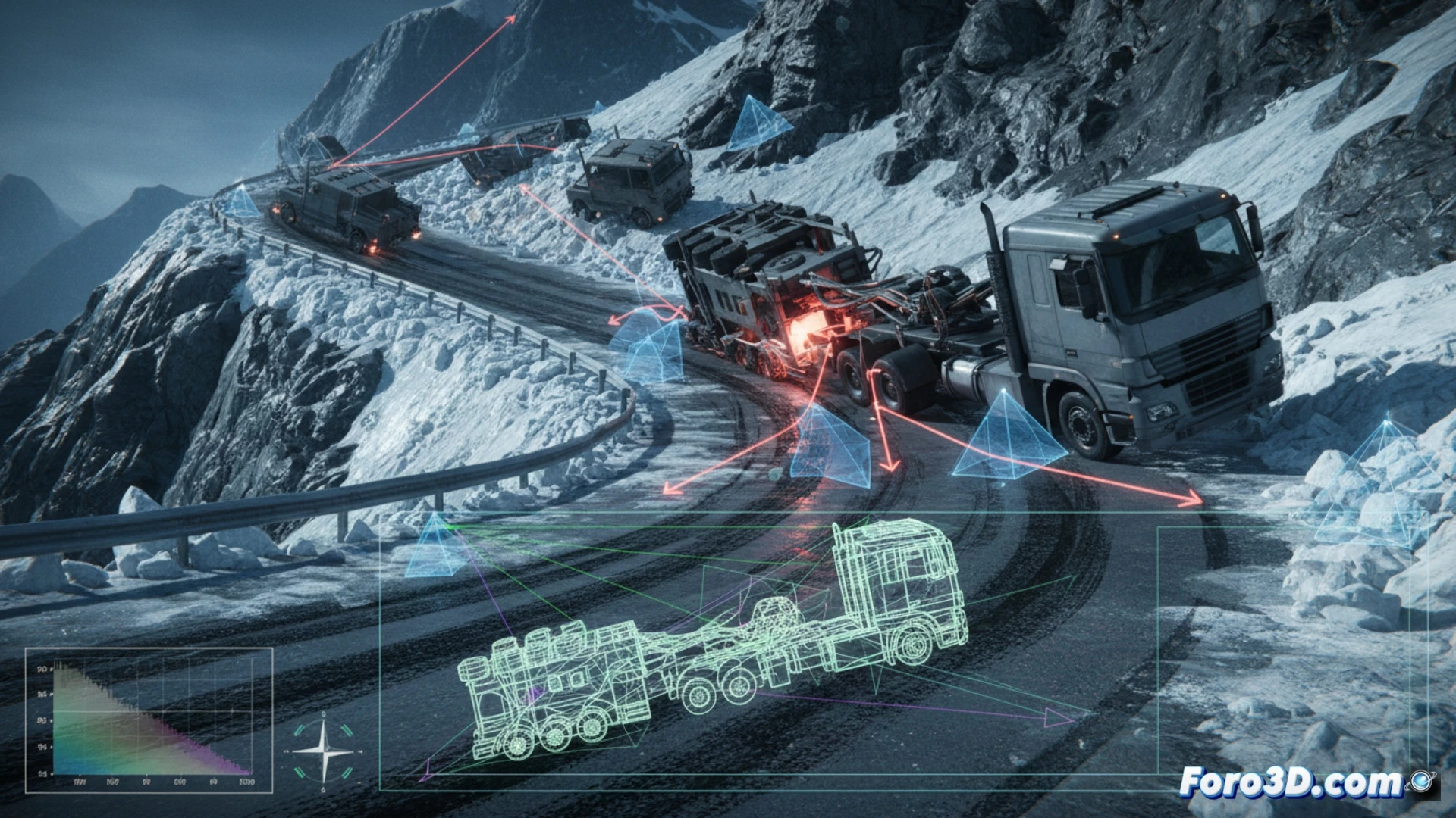
Using computational fluid dynamics software and finite element models, the trajectories of each vehicle in the convoy after loss of control will be simulated. The interaction between the lead truck's load and the inertia generated on tight curves will be analyzed. Input data includes friction coefficients of wet asphalt, crosswind profiles, and structural fatigue of the axles. 3D visualization allows identifying secondary impact points against embankments and guardrails, crucial for understanding the fragmentation of the convoy and the dispersion of the load.
Lessons for Mountain Caravan Safety ⛰️
Comparing this incident with real accidents such as those on the Caracoles road or the Death Road, common patterns in convoy management become evident. The 3D simulation reveals that the safety distance between vehicles is insufficient on slopes greater than 12%. A protocol based on simulation is proposed: establishing control points with inclination sensors and regenerative braking. The final model will serve as a training tool for drivers, immersively showing the consequences of a miscalculation in entry speed into a curve.
How can the detailed 3D reconstruction of a mountain convoy rollover help identify the exact point of mechanical failure that triggered the catastrophe, considering the meteorological variables at the time?
(PS: Simulating catastrophes is fun until the computer crashes and you are the catastrophe.)