The sinking of a floating algae farm in the open sea has triggered a digital forensic investigation. The structure, designed to capture carbon, gave way under the weight of accumulated bio-fouling. Engineers used side-scan sonar and photogrammetry to reconstruct the seabed and the mass of attached organisms. The analysis aims to determine whether the excess load exceeded the safety margins of the original design, sparking a debate on the risks of biofouling in green infrastructure. 🌊
Technical workflow: Sonar, photogrammetry, and parametric simulation 🛠️
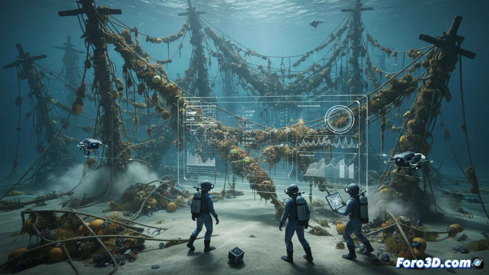
The process began with data capture using side-scan sonar, integrated into EIVA NaviSuite to generate a point cloud of the wreck area. Simultaneously, photogrammetry of the collapsed structure was performed to model the distribution of bio-fouling. This data was imported into Global Mapper to georeference the layers and calculate biomass volumes. Using Rhino and Grasshopper, a parametric analysis was executed that simulated structural stress under the unaccounted additional weight. Finally, 3ds Max allowed visualization of the collapse sequence, contrasting the theoretical model with underwater evidence.
Forensic lessons for ocean infrastructure design ⚖️
The 3D reconstruction suggests that bio-fouling acted as a progressive ballast, exceeding the residual buoyancy of the farm. This case demonstrates that predictive models must integrate biological variables in real-time, not just static material data. For the Collapsed Structures niche, the lesson is clear: parametric simulations in Grasshopper and mapping with Global Mapper are essential tools for auditing projects before deployment, preventing nature from overwhelming human calculations.
What specific technical challenges does the 3D reconstruction of a floating algae structure collapse present when bio-fouling obscures the original fracture points in the digital forensic model?
(PS: Simulating a collapse is easy. The hard part is not crashing the program.)