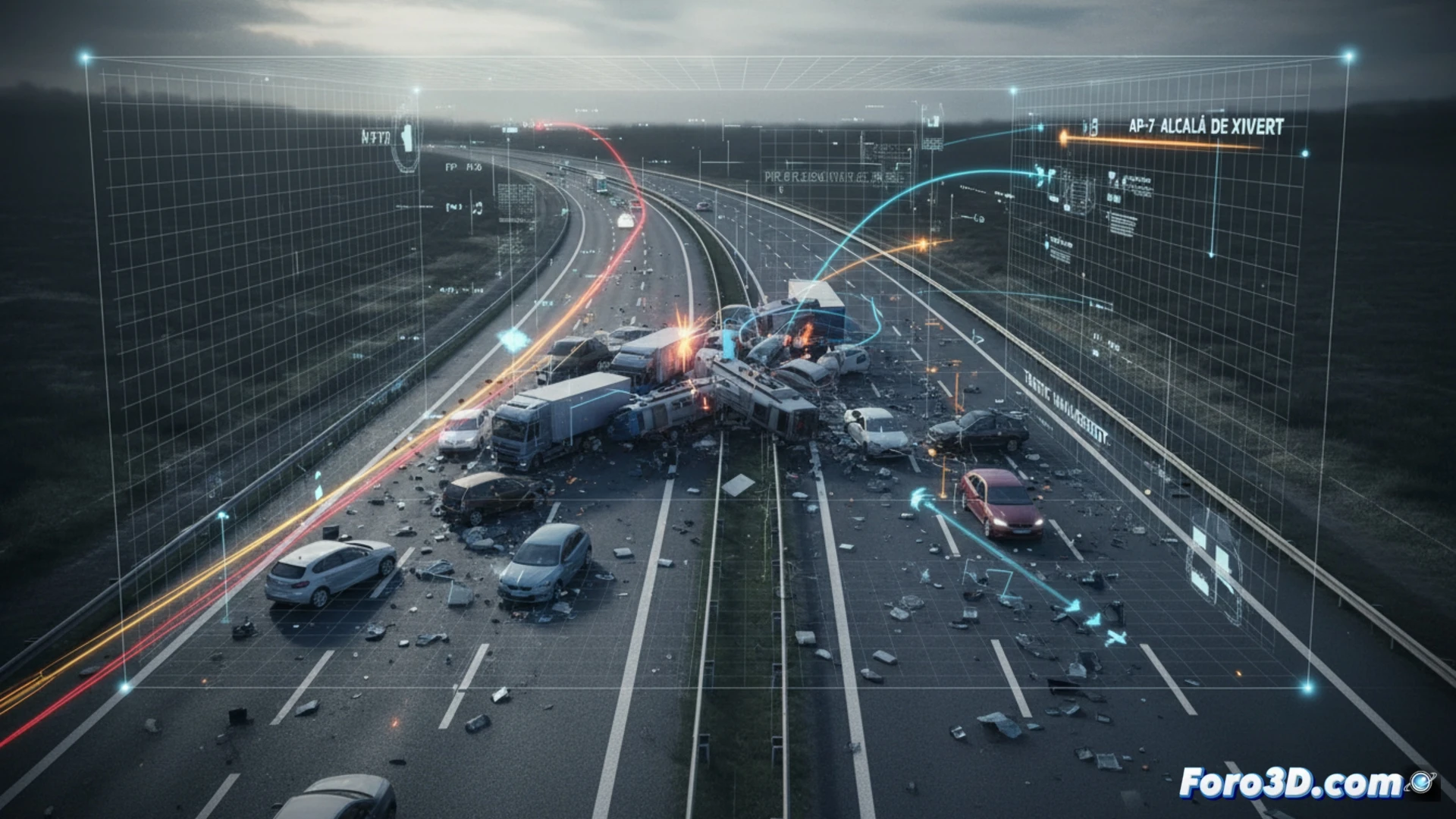
Last long weekend, the AP-7 at the height of Alcalá de Xivert (Castellón) was the scene of an incident that collapsed both lanes for hours. This incident, which occurred on a high-density stretch, generated kilometer-long traffic jams and forced diversions. From a forensic analysis perspective, this event is an ideal case study for applying virtual reconstruction techniques, allowing us to break down the mechanics of the impact and subsequent traffic management.
Dynamic simulation and analysis of concurrent factors 🚗
The 3D reconstruction is based on three pillars: the exact geometry of the roadway (curves, banking, and visibility), the telemetry data from the vehicles involved, and witness testimonies. Our initial simulation suggests that the speed reduction in the preceding construction zone could have been a critical factor. When modeling the collision, we observed that the speed difference between the stopped traffic and the impacting vehicle exceeded standard reaction margins. The hypothesis of a mechanical failure (brakes or tire) is contrasted with that of driver distraction, analyzing the residual skid trajectory on the asphalt.
Lessons for road safety on the Mediterranean corridor 🛣️
Comparing this incident with others recorded on the same stretch of the AP-7 over the past two years, a pattern of rear-end collisions during peak return hours emerges. The virtual recreation not only helps determine liability but also allows for proposing tangible improvements: the installation of dynamic section speed cameras and variable message panels that warn of congestion upstream. The final 3D model will serve as a teaching tool for awareness campaigns on driver fatigue.
Considering that the 3D reconstruction of an accident requires a balance between millimeter precision and processing speed, what methodology or software do you recommend for generating a forensic model from emergency photogrammetry, when road closure limits data capture time to less than two hours?
(PS: In scene analysis, every scale witness is a small anonymous hero.)