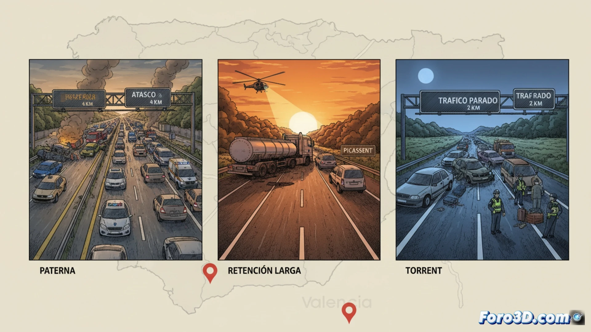
The exodus operation in the province of Valencia left a critical scenario on the A-7, with three simultaneous accidents in Paterna, Picassent, and Torrent generating over 6 kilometers of traffic jams. For a scene analyst, these incidents are not simple traffic jams; they represent a technical challenge where three-dimensional documentation allows for breaking down the dynamics of the impact, vehicle trajectories, and road conditions, key to determining responsibilities and structural failures.
Photogrammetry and laser scanning on high-capacity roads 🚗
The forensic reconstruction of these incidents requires capturing the exact geometry of the collision points. Using digital photogrammetry, series of images of the damaged vehicles and the road are processed to generate precise point clouds. Laser scanning (LiDAR) complements this process by measuring distances in low visibility conditions, common during exodus operation sunsets. These 3D models allow for calculating impact speeds through structural deformations and simulating the interaction between the involved cars, revealing whether the safety distance or the condition of the asphalt were determining factors in the chain collision.
Road prevention: simulations that save lives 🛡️
Beyond investigation, 3D technology transforms this data into predictive simulations. By recreating the 6 km of traffic jams in a virtual environment, engineers can test changes in dynamic signage or the layout of shoulders. Analyzing the kinematics of the crashes in Torrent and Picassent helps design more effective containment barriers and optimize emergency service response times, turning an expert report into an active tool against accident rates on high-density corridors.
Which 3D reconstruction methodology is most effective for analyzing the simultaneity of the three incidents on the A-7 and determining their causes?
(PS: In scene analysis, every scale witness is a small anonymous hero.)