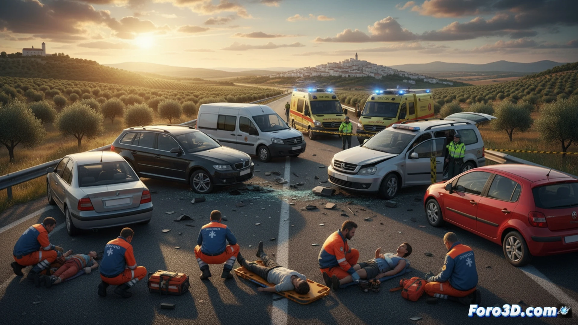
The recent rear-end collision in Almuradiel, Ciudad Real, which left seven injured and four vehicles involved, represents a perfect case study for road forensic engineering. At Foro3D, we analyze how photogrammetry and laser scanning allow investigators to digitally recreate the scene, offering millimeter precision to determine the causes of the accident without relying solely on witness statements or skid marks.
Data capture and digital twin of the road 🛰️
The process begins with the deployment of terrestrial LiDAR equipment and drones equipped with high-resolution cameras on the affected stretch. A systematic sweep of the roadway is carried out, collecting point clouds that capture the final position of each vehicle, the debris of plastic and glass, and the skid marks. Subsequently, processing software aligns these images to generate a textured 3D model. This digital twin allows isolating each vehicle, measuring sheet metal deformations, and calculating relative speeds through kinetic energy analysis, simulating the momentum transfer between the four cars.
Lessons for road accident prevention 🚦
Beyond solving the case, this technology offers a critical advantage: the ability to identify risk patterns in infrastructure. By recreating the rear-end sequence in Almuradiel, engineers can assess whether signage, road banking, or visibility distance contributed to human error. 3D documentation thus becomes a teaching tool for redesigning black spots and improving active safety, transforming an accident into an objective lesson for future awareness campaigns.
What minimum resolution would you need for this analysis?