Adam's Bridge, also known as Rama Setu, is a 48-kilometer chain of sandbanks and reefs connecting Pamban Island in India with Mannar Island in Sri Lanka. According to the Indian epic tradition of the Ramayana, this is not a natural formation but an artificial bridge built by Hanuman's monkey army over a million years ago. This duality between myth and geology has made the site a fascinating case study for digital archaeology, where 3D modeling tools and satellite photogrammetry allow the structure to be examined with a scientific rigor previously impossible.
Satellite Photogrammetry and Bathymetric Modeling of Rama Setu 🌊
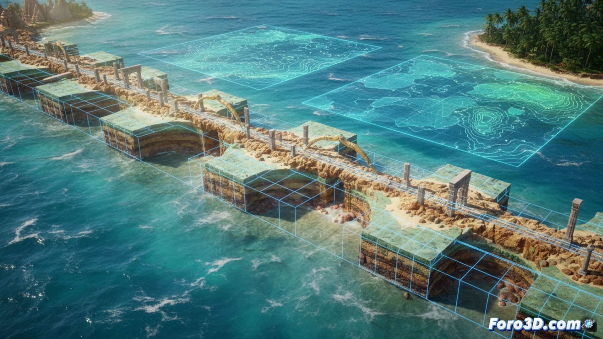
High-resolution images from satellites such as Landsat and Sentinel-2, combined with bathymetric data from the area, allow the generation of digital terrain models (DTMs) that reveal the exact morphology of the sandbanks. Using photogrammetry software like Agisoft Metashape or RealityCapture, researchers can reconstruct the underwater topography and calculate the volume of accumulated sediment. A key analysis involves simulating sea levels during the last glacial maximum, about 20,000 years ago, when the Indian Ocean level was up to 120 meters lower. In that scenario, the connection between India and Sri Lanka would have been a land bridge, reinforcing the hypothesis of a natural formation. However, the linear arrangement and uniformity of limestone blocks in certain sections continue to fuel the debate about possible human intervention, which 3D modeling can help assess by measuring the preferential orientation of the fragments.
Virtual Reconstruction and Dissemination of Submerged Heritage 🏛️
Beyond the scientific debate, 3D technology offers a unique opportunity for cultural dissemination. Virtual reconstructions of Adam's Bridge, based on bathymetric data and descriptions from the Ramayana, allow visualization of what the structure might have looked like in its supposed original state, with a stone path emerging over a lower sea. These models are integrated into virtual reality platforms and interactive web viewers, bringing mythological heritage closer to a global audience. For digital archaeology, Rama Setu is not just an object of geological study, but a reminder that the boundary between myth and science often blurs underwater, waiting to be illuminated by the pixels of a scanner.
How can 3D analysis of the bathymetry and geological structure of Adam's Bridge differentiate between a natural formation and possible anthropogenic intervention in antiquity?
(PS: If you dig at a site and find a USB drive, don't plug it in: it could be Roman malware.)