For decades, archaeology attributed the collapse of Late Bronze Age civilizations to a sudden invasion by the Sea Peoples. However, new digital modeling and photogrammetry techniques are revolutionizing this theory. By virtually reconstructing Hittite and Egyptian cities, researchers can now simulate the effects of droughts and earthquakes, demonstrating that the collapse was a systemic and gradual process, not a simple conquest.
Photogrammetry and climate simulation: new forensic tools 🛠️
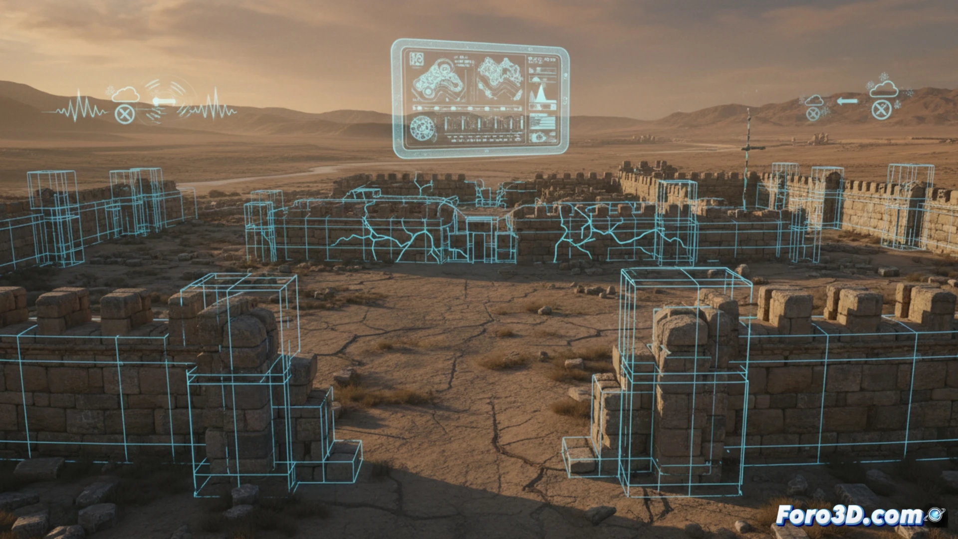
The use of LiDAR scanners and drones has enabled the creation of digital twins of sites such as the Hittite city of Hattusa. These 3D models, combined with simulations of rainfall and temperature regimes, reveal patterns of progressive abandonment. Visualizations of trade routes, generated using GIS (Geographic Information Systems), show how the interconnectedness of the Mediterranean fractured before the arrival of the invaders. 3D technology acts as a forensic time machine, allowing archaeologists to isolate variables and verify that the Sea Peoples were a catalyst, not the root cause.
The myth of invasion as a digital bias 🧠
If the narrative of a massive invasion has persisted for so long, it is partly due to the lack of tools to visualize complexity. Now, virtual reconstructions force us to be more rigorous. By modeling the collapse as a system of multiple failures, digital archaeology reminds us that major historical crises rarely have a single culprit. Technology not only preserves the past but teaches us to interpret it with greater honesty.
Would you export to Sketchfab or a custom viewer?