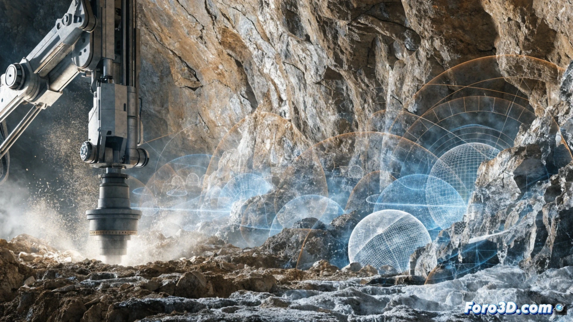
3D technology has arrived in the drilling trade, transforming how jobs are planned and executed. It's no longer about guessing where the pipe is or praying not to hit a cable. With three-dimensional models of the subsurface, a driller can visualize obstacles before inserting the drill bit. This reduces errors, saves time, and avoids painful repair bills.
Subsurface modeling and navigation software 🛠️
A clear example is horizontal directional drilling. It scans the terrain with ground-penetrating radar and generates a 3D model using programs like AutoCAD Civil 3D or Leica Geo Office. Then, specific software such as Vico Office or Deep Exploration allows planning the exact trajectory of the drill. The operator sees the drill bit's position in real time on screen relative to underground utilities. No more drilling blindly and hoping for the best.
Goodbye to the driller's sixth sense 🤖
Before, the veteran driller boasted of having radar in his hands. He felt vibrations, listened to noises, and if he failed, he said the earth was angry. Now with 3D technology, that mystical gift has been replaced by software that doesn't complain about mud or ask for a raise. The only thing the driller still needs to do is not forget his sandwich and thermos of coffee.