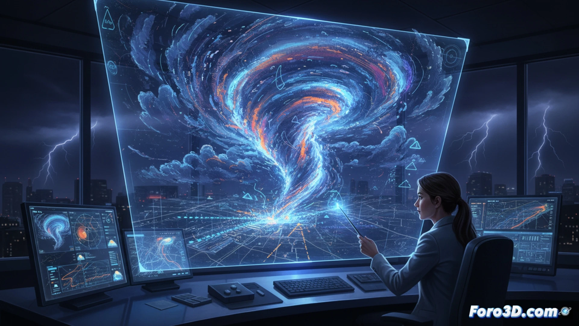
Traditional meteorology relied on 2D maps and satellite data. Today, 3D technology allows visualizing cloud columns, cold fronts, and wind currents in volume. This helps predict the formation of tornadoes or hail with greater accuracy. A clear example: simulating the evolution of a supercell in 3D to anticipate its trajectory.
Software and workflow for volumetric analysis 🌩️
To work with meteorological data in 3D, programs like GrADS, VAPOR, or the WRF (Weather Research and Forecasting) visualization module are used. These allow loading NetCDF or GRIB files and generating isosurfaces of pressure, temperature, or humidity. With Blender or ParaView, these virtual clouds can be animated. The key is integrating radar and satellite data into a three-dimensional space to detect patterns that go unnoticed in 2D.
When the 3D model tells you it will rain just when you hung out the laundry ☔
You spend hours adjusting parameters in a 3D model, rendering cumulonimbus clouds and calculating isobars. The result: a flawless forecast indicating bright sunshine. You go outside without an umbrella and five minutes later you get caught in a biblical downpour. It turns out the roof sensor was blocked by a pigeon. 3D technology is useful, but against the neighbor's pigeon, no model is a match.