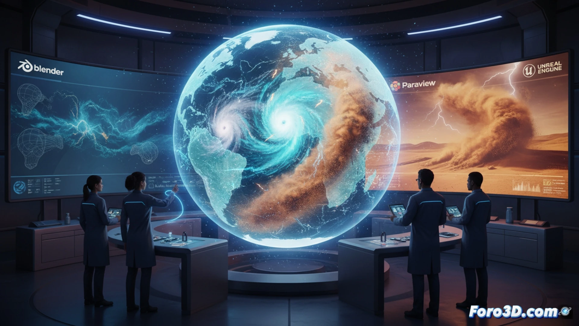
Climatology studies long-term atmospheric patterns. 3D technology allows visualizing air masses, ocean currents, and clouds in volume. Instead of flat maps, climatologists can rotate and scale three-dimensional models of the atmosphere. This helps understand how hurricanes or droughts form. An example: simulating in 3D the movement of a Saharan dust storm towards the Atlantic. Necessary software: Blender for rendering, Paraview for scientific data, and Unreal Engine for interactive simulations.
Volumetric simulation with satellite data 🌍
Data from satellites like Sentinel-3 or MODIS is imported into 3D software. With Paraview, variables such as temperature, humidity, or pressure are filtered within a virtual cube. Then, layers are colored to see the interaction between the ocean and the atmosphere. The climatologist can slice the model with a plane to examine vertical profiles. Time series are also animated: 24 hours of cloud evolution in 10 seconds. This reveals patterns that would go unnoticed in tables of numbers. Three.js is used for web visualization.
When the 3D model tells you it will rain on your barbecue ☔
The problem is that these models are so detailed that they sometimes predict rain in your backyard two weeks in advance. And of course, you cancel the barbecue, buy a new umbrella, and in the end, the sun shines brightly. The climatologist laughs: atmospheric chaos is an art. But at least, thanks to 3D, you can see the cloud that fooled you spinning in slow motion. Of course, next time, the model will say it will be sunny. And it will rain. Ironies of the digital climate.