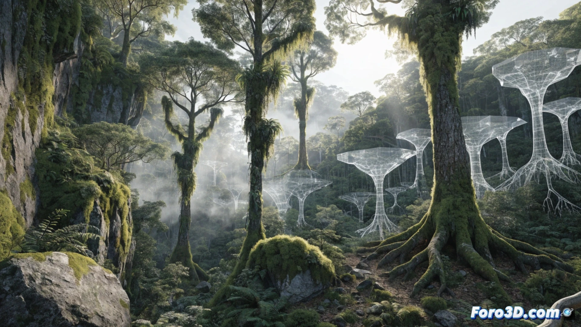
3D technology allows forest engineers to digitize terrain and tree masses with millimeter precision. Using laser scanners or drones, they capture the real topography, the height of each tree, and the density of the understory. This transforms the planning of harvests, biomass assessment, or access road design, reducing errors and costs in the field.
From point cloud to forest management plan 🌲
The typical workflow starts with a drone equipped with LiDAR or photogrammetry. Software like RealityCapture or Pix4D generates a point cloud of the forest area. Then, programs such as ArcGIS Pro or QGIS with 3D plugins allow classifying vegetation and calculating wood volumes. For growth simulation and harvesting plans, Forest Metrix or Stand Visualization System is used. Everything is integrated into a digital terrain model that avoids surprises on the wet paper.
Goodbye to measuring trees with a tape measure and praying 📏
Before, the forest engineer sweated buckets climbing hills with an outdated clinometer. Now, with a drone and a laptop, you can know how many cubic meters a pine tree has 200 meters away without getting up from your chair. Of course, don't expect the software to warn you that you left your thermos of coffee at home. 3D technology doesn't solve everything, but at least it prevents you from getting lost in the woods with a wet paper map.