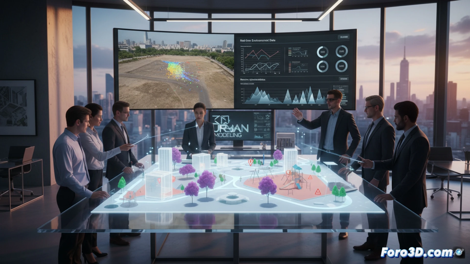
3D technology allows public managers to visualize urban projects before building them. With digital models, planning errors are avoided and resources are optimized. A clear example is the simulation of a playground: with a laser scanner and modeling software, shadows, access points, and potential hazards are detected before spending money on concrete.
Key programs for municipal management in 3D 🏛️
To start, you need a 3D scanner like the Leica BLK360 or use photogrammetry with drones and programs like RealityCapture. Then, platforms such as Autodesk InfraWorks or Blender allow you to integrate cadastral and topographic data. With QGIS and 3D plugins, you can overlay urban planning regulations on the model. The basic workflow: capture, model, and simulate scenarios like traffic or floods.
The manager who ordered a 3D model of his morning coffee ☕
Imagine the official who, to justify his budget, models the city hall's coffee machine in 3D. He claims he needs to see the flow of people in the break room. The result: a 40-page report on the ergonomics of cups. 3D technology is useful, but not for justifying why you always arrive late to meetings with a tablet under your arm.