A ship captain faces changing routes, unpredictable seabeds, and maneuvers in narrow ports. 3D technology allows visualizing the underwater terrain, simulating currents, and anticipating obstacles. For example, when docking in an unfamiliar port, a 3D model of the seabed prevents groundings. Programs like CARIS, QPS Qimera, and ArcGIS are used to process bathymetric data and create precise three-dimensional maps.
How the Digital Twin Improves Navigation 🚢
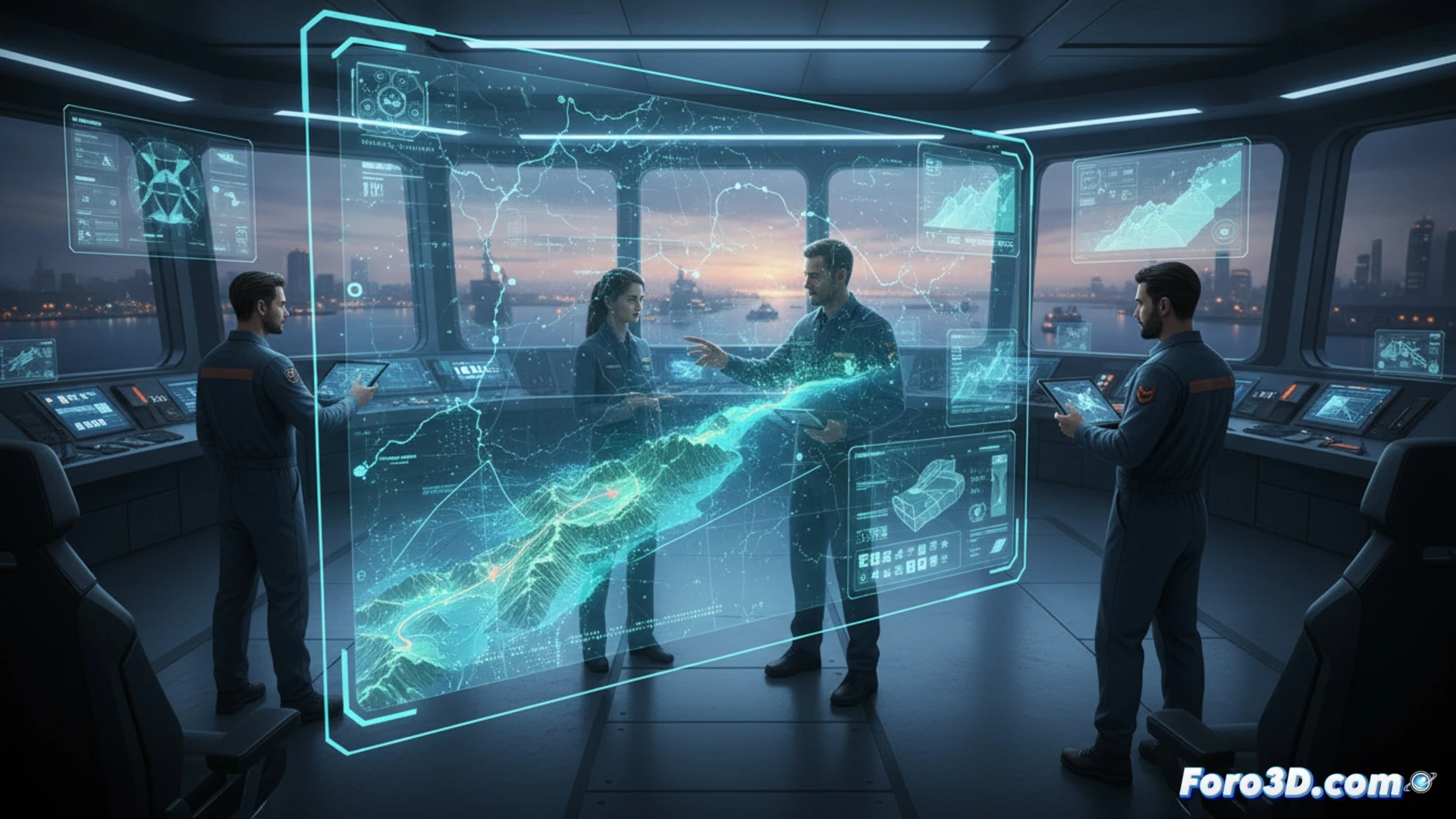
The digital twin replicates the ship and its environment in real-time. Onboard sensors feed 3D models that show draft, wind, and currents. Programs like Siemens Simcenter or DNV GL Navigator allow simulating maneuvers before executing them. This reduces docking errors, saves fuel, and minimizes risks. The captain doesn't guess: they see on screen how the vessel will react to each turn.
Goodbye Spyglass, Hello 3D Printer 🖨️
Before, the captain relied on their eyesight and a rusty sextant. Now they can 3D print a spare propeller part while sipping coffee. Of course, if the printer jams in the middle of the Atlantic, you'll be cursing like an 18th-century sea dog again. 3D technology saves you from disaster... or leaves you stranded with melted filament and the urge to throw it overboard.