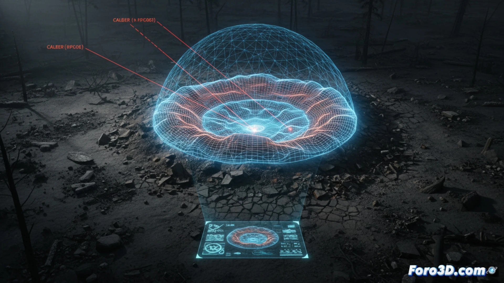
The morphology of a crater generated by artillery impact is not random; it is a ballistic fingerprint. Every fold in the terrain, every ejection pattern, and the geometry of the depression reveal critical data: projectile caliber, angle of fall, and explosive power. In 3D analysis of war conflicts, reconstructing these shapes is essential for forensic investigation and documentation of infrastructure damage.
Photogrammetry and impact simulation 🎯
To capture the crater's morphology, drone-based photogrammetry is used, taking hundreds of images in orbit around the impact point. The modeling software generates a high-resolution mesh that allows measuring the diameter, depth, and raised rim. With this data, computational fluid dynamics (CFD) simulators recreate the detonation, adjusting variables such as projectile velocity and soil composition. The comparison between the real model and the simulation makes it possible to identify the type of ammunition, even when metal fragments have been removed from the site.
Lessons from the devastated terrain 🌍
Analyzing a crater in 3D transcends mere technical metrics. It is an act of memory and justice. Each deformation of the ground tells the story of an instant of industrialized violence. For humanitarian documentation teams, these models are irrefutable evidence in international courts, and for engineers, they are lessons on how to restore the wounded landscape. The morphology of a crater reminds us that war, even in its smallest footprint, is a three-dimensional problem.
What specific morphological parameters of the crater allow differentiating between a conventional artillery impact and a cluster munition impact in a forensic 3D model?
(PS: modeling destroyed buildings is easy; the hard part is making sure the software doesn't crash before they do)