3D technology is transforming mining by allowing veins and cavities to be modeled before drilling. A clear example is the use of LIDAR scanners in tunnels to generate precise point clouds. This reduces collapse risks and optimizes extraction by knowing exactly where to strike. Necessary programs include Surpac for planning, Micromine for geological modeling, and CloudCompare for processing scan data.
Laser scanning and digital twins in mining operations 🚀
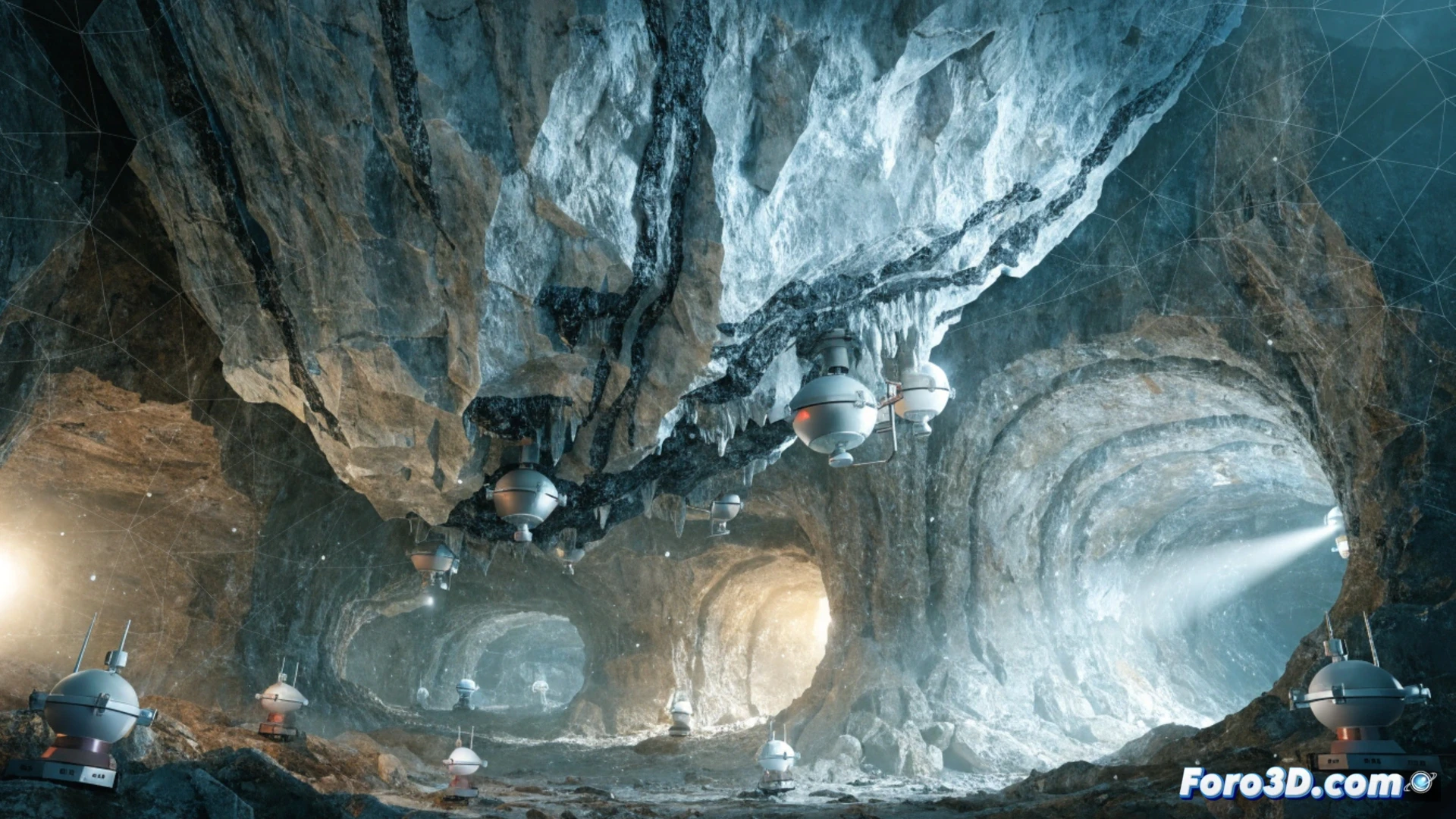
The workflow begins with a scanner like the Leica BLK360, which captures millions of points per second. That data is processed in Cyclone REGISTER to align the shots and generate a 3D mesh. Then, software like Datamine Studio RM imports that mesh to calculate material volumes and design safety slopes. Precision reaches the centimeter level, which avoids over-excavation and saves explosives. The result is a digital twin of the workface that is updated after each blast.
The digital miner: when the pick becomes a click ⛏️
Before, the miner relied on his nose to find veins; now he relies on a laptop that tells him there is gold 47 meters to the east. That said, the PC doesn't carry sacks of ore or withstand dust like an old helmet. The worst part is when the software updates right in the middle of a blast and the 3D model freezes. At least, if the screen breaks, you can blame the terrain and not your aim.