Meteovigo has announced the incorporation of 3D weather maps generated by its MV-WRF model. This tool offers a three-dimensional representation of atmospheric conditions, allowing users to visualize weather evolution in greater detail. The forecast gains precision and depth, making it easier to consult complex data in a more intuitive way.
How the MV-WRF model works in three dimensions 🌤️
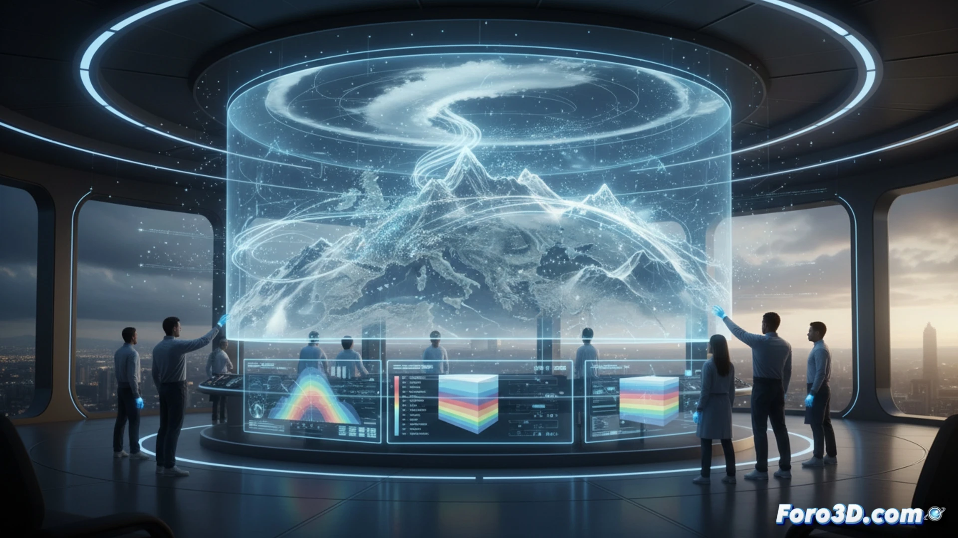
The MV-WRF model processes atmospheric variables such as pressure, temperature, and wind to generate a three-dimensional mesh. Unlike traditional flat maps, this technology allows observing the vertical structure of clouds, fronts, and precipitation. Data is updated with high resolution, offering cross-sections at different altitudes. This is useful for understanding local phenomena, such as the effect of orography on rainfall or the formation of coastal fog.
Now you will be able to see the cloud that is going to get you wet from every angle ☁️
Finally, technology allows us to observe in 3D that cloud that has been threatening to soak us for days, as if it were a final video game boss. You can rotate it, zoom in on it, and admire its texture before it decides to unload on your head. The bad news is that no matter how much you look at it in three dimensions, the rain forecast will remain the same. But at least, if you get wet, you will know exactly from which angle the downpour came.