Meteovigo has launched a call to the community for users to share their weather observations, such as storm reports or local data. The initiative aims to enrich the information base and refine the accuracy of forecasts. The platform combines cutting-edge technology with the firsthand knowledge of those who experience the weather firsthand, fostering active participation in climate data collection.
How the MV-WRF model and the new 3D maps work 🌤️
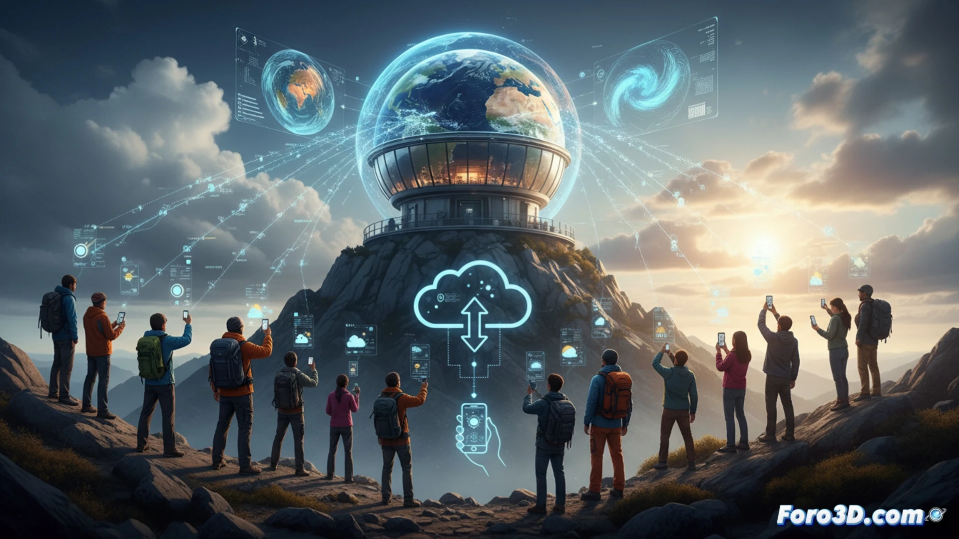
The MV-WRF model is the engine behind the platform's new 3D weather maps. This high-resolution system processes atmospheric variables to generate detailed predictions. By integrating citizen data, such as rainfall intensity or cloud formation, simulations are refined. Collaboration allows correcting local deviations that satellites cannot capture. Each report adds precision to a system that already uses official data and remote sensors.
Keep an eye out: your neighbor with an umbrella is now a human sensor ☂️
Finally, science recognizes the hidden talent of your brother-in-law who always says it's going to rain. Now, instead of arguing over dinner, he can officially report the downpour that hit his terrace. But let's not get carried away: reporting that his cat meowed before the storm does not count as climate data. The community to the rescue, one bucket of water at a time.