The figure of the environmental technician faces a duality of environments: the field and the laboratory. Each day involves navigating uneven terrain, exposure to biological and chemical contaminants, and handling precision equipment. This article explores how three-dimensional visualization can transform the analysis of these risks, offering a didactic tool for prevention in public health and occupational epidemiology.
3D Simulation of Exposure and Biomechanics in Sampling 🧪
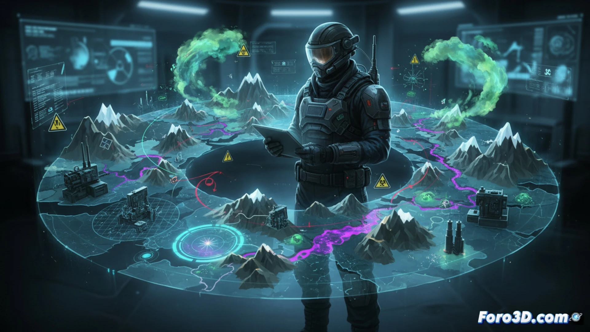
The creation of digital twins of the terrain allows simulating falls due to uneven ground or slippery surfaces, integrating slope and humidity data to predict high-risk zones. Through volumetric models, dispersion clouds of atmospheric pollutants or biofilms at sampling points can be visualized. Additionally, the animation of forced postures during probe handling or the loading of portable equipment offers real-time ergonomic analysis. These representations facilitate the identification of overexertion patterns and the optimization of vehicle travel routes to reduce traffic accidents.
Visualize to Prevent: The Map as an Awareness Tool 🗺️
Beyond statistical data, an interactive risk map allows the environmental technician to review their workday before executing it. By integrating variables such as solar radiation, the presence of pathogens in the laboratory, or soil stability, the 3D model becomes a decision simulator. This visual immersion not only trains the professional in hazard identification but also humanizes prevention, showing the real long-term health impact of each exposure.
How could a 3D occupational risk mapping system integrate field pathogen exposure data with cross-contamination variables in the laboratory to generate real-time predictive alerts for the environmental technician?
(PS: visualizing obesity in 3D is easy; the hard part is making it not look like a map of solar system planets)