Viticulture, a centuries-old craft, is being renewed by 3D technology. Scanners and drones allow for the creation of precise vineyard models to analyze vine vigor, terrain slope, or sun exposure. Thus, the grower decides on pruning, irrigation, or harvests based on real data, not just with a trained eye.
From field to model: scanning and analyzing the vineyard 🍇
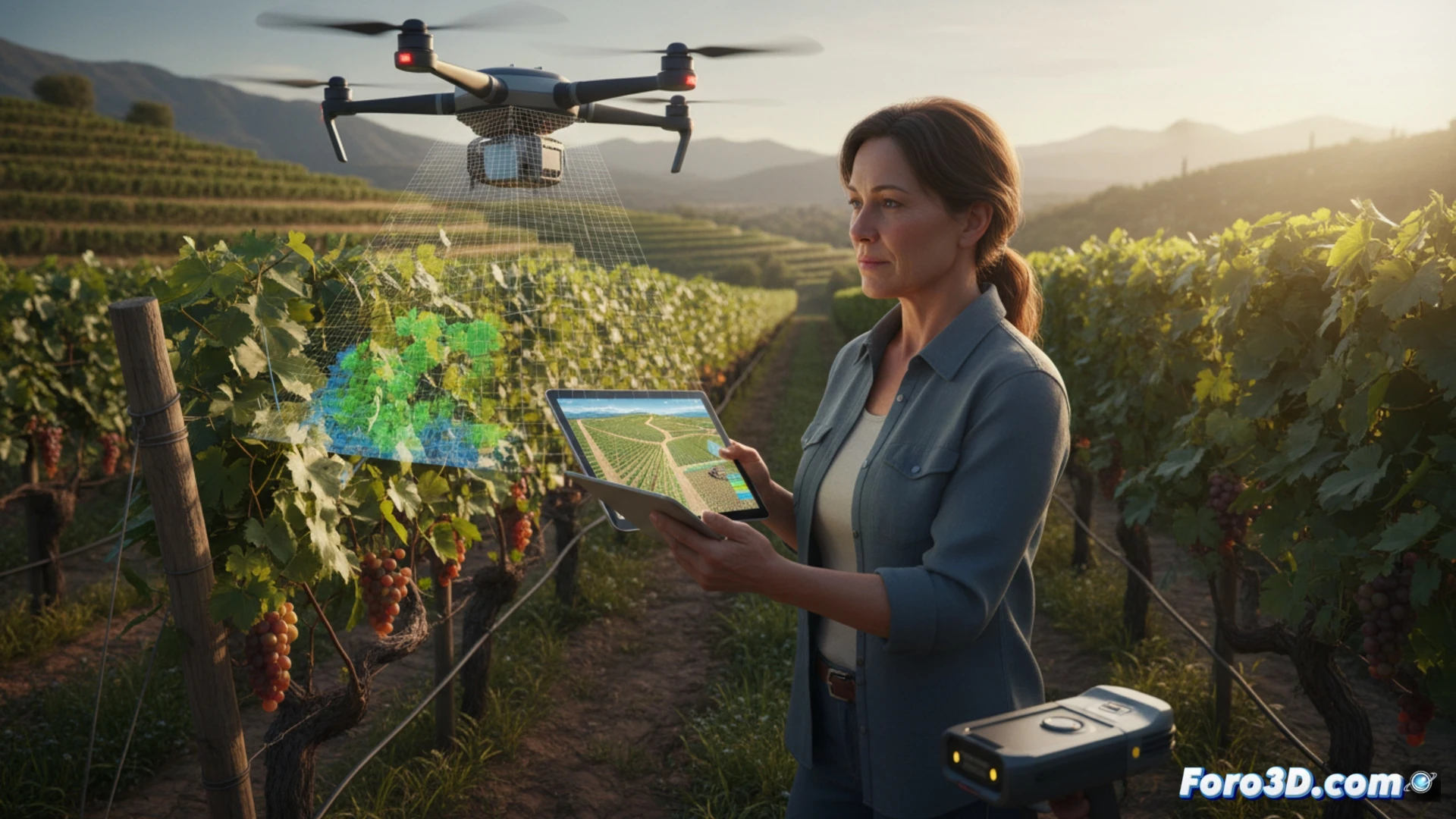
A clear example: a drone with a multispectral camera flies over the plot. Agisoft Metashape software processes the images to generate a point cloud and a 3D orthomosaic. Then, programs like QGIS or Pix4Dfields analyze vegetation indices (NDVI). The result is a water stress map that allows irrigating only the areas that need it, saving water and improving grape quality.
Goodbye to rough estimates: welcome precise data 📊
Before, the veteran grower would sniff the soil and say: this vine is thirsty. Now, a drone delivers a 20-page report confirming the same. Technology does not replace experience, but it prevents the reserve red from ending up tasting like vinegar due to overwatering. At least, the next tasting will have a scientific excuse for bad wine.