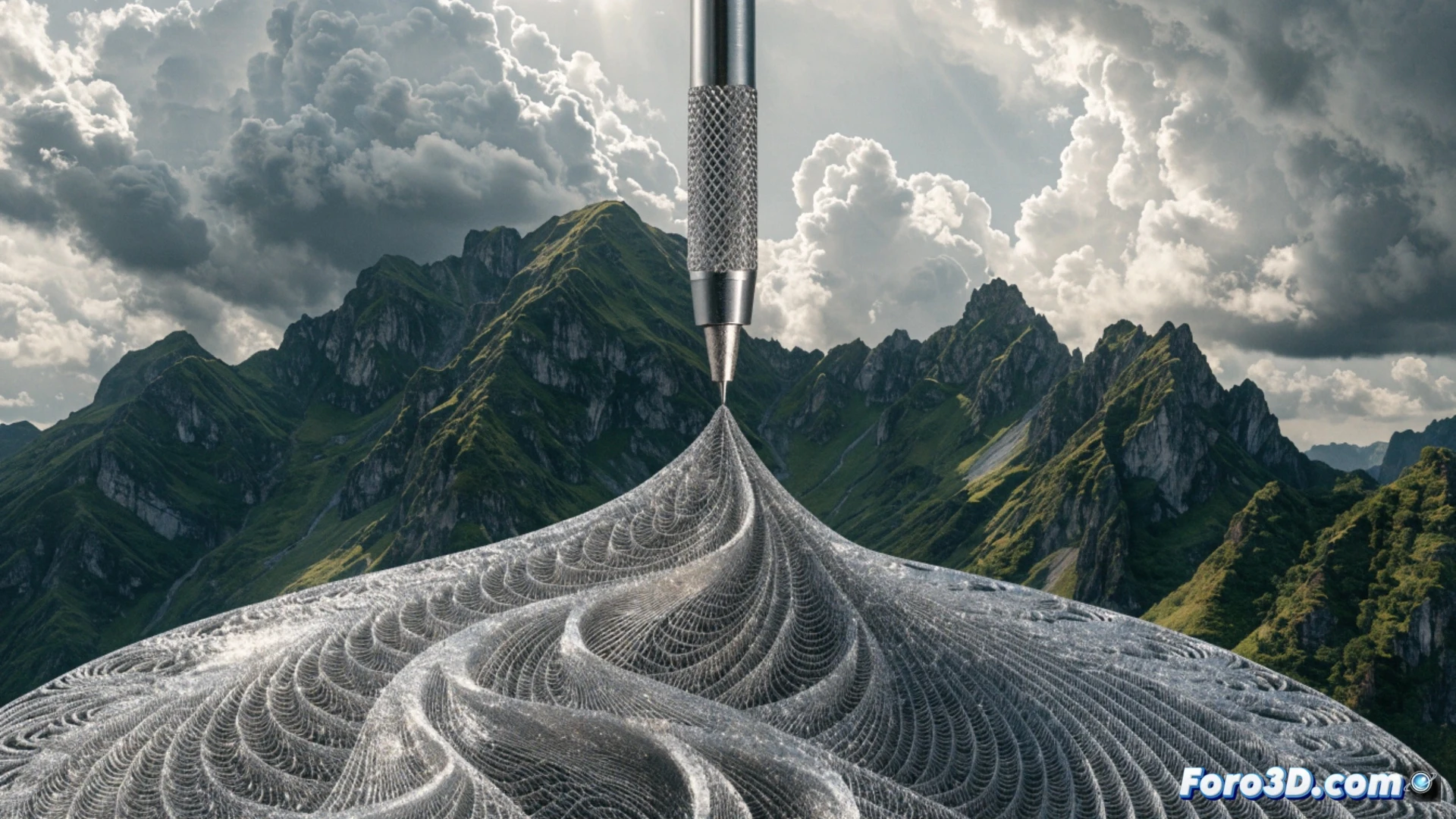
3D technology has transformed surveying, enabling a shift from field notebooks to precise point clouds. With laser scanners or drone photogrammetry, a surveyor can capture a terrain in minutes and generate digital terrain models (DTMs) with millimeter accuracy. This saves time and reduces human errors in staking out and measurements.
From scan to model: the technical workflow 🛠️
The process begins with a 3D scanner (such as a Leica RTC360) or a drone with a high-resolution camera. The data is processed in software like Agisoft Metashape or Pix4Dmapper to generate point clouds and orthophotos. Then, programs like Autodesk Civil 3D or Trimble Business Center allow creating surfaces, calculating earth volumes, and designing cuts. The result is a digital model that can be 3D printed to present to the client or architect.
When the measuring tape retires (and we don't miss it) 😅
Before, a surveyor spent hours under the sun, with the measuring tape tangled in bushes and the spirit level uncalibrated. Now, with a drone and a scanner, they finish the job in an hour and can even have a coffee while the software calculates everything. The only thing that hasn't changed is that if the drone crashes into a tree, it's still the intern's fault.