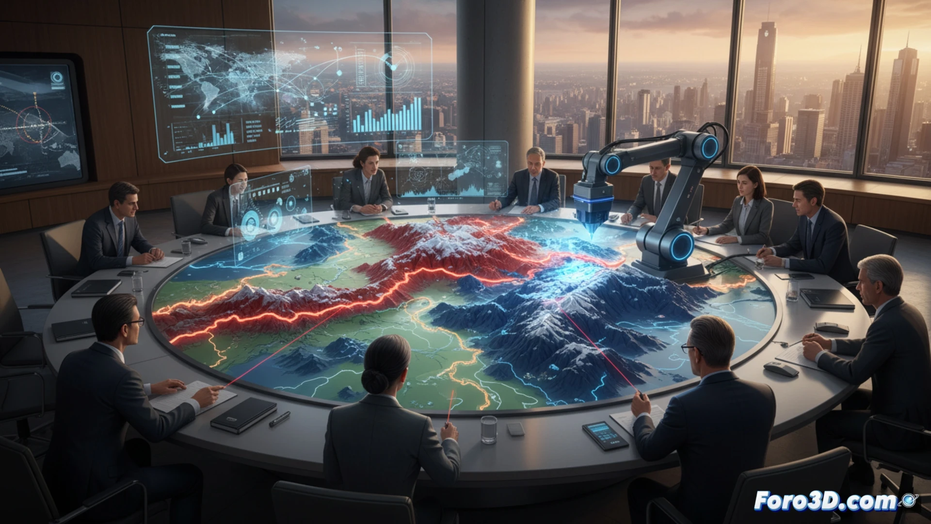
3D technology offers practical tools for modern diplomacy. It allows the creation of physical models of disputed territories or critical infrastructure to facilitate negotiations. A clear example is the scale reproduction of a conflictive border area, enabling delegations to visualize the terrain without needing to visit it, reducing costs and logistical tensions.
Key software for territorial analysis 🗺️
To generate these models, programs such as QGIS for geospatial data, Fusion 360 for parametric design, and Cura for 3D printing slicing are used. The process begins with satellite or topographic data that is converted into STL files. Printing in resin or PLA filament offers fine relief details, allowing diplomats to point to specific spots with a physical pointer instead of a flat screen.
When the ambassador asks for a model of their office 😅
The problem arises when the diplomat, fascinated by the technology, requests an exact replica of their meeting table to simulate where to place coasters during gala dinners. Although 3D printing resolves border crises, it cannot print the patience needed to endure another protocol dinner with the same old speech. At least the model doesn't complain about the menu.