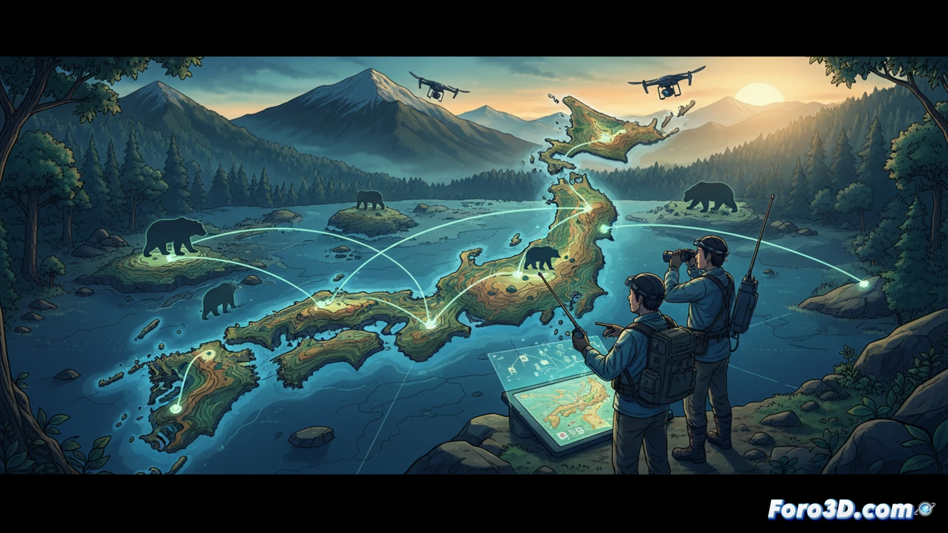
The Japanese government has announced a plan to conduct surveys on bear habitats in Niigata Prefecture and the Tohoku region. The goal is to understand how these animals move across prefectural boundaries, areas where encounters with humans have increased in recent years.
Drones and GPS: Technology at the Service of Tracking 🛸
Teams will use GPS collars and drones equipped with thermal cameras to track bear movements across large, forested areas. The collected data will allow for the creation of activity maps and movement corridors. This information will be shared with local authorities to design barriers and early warning systems that reduce unwanted encounters.
Bears with Passports: The Problem of Not Respecting Borders 🐻
It seems bears don't care about lines on a map. While humans debate administrative boundaries, these animals cross from Niigata to Tohoku as if on a field trip. The government hopes that, with the data, bears will understand they should stay in their prefecture. But honestly, if they don't respect traffic signs, I doubt they'll respect a map.