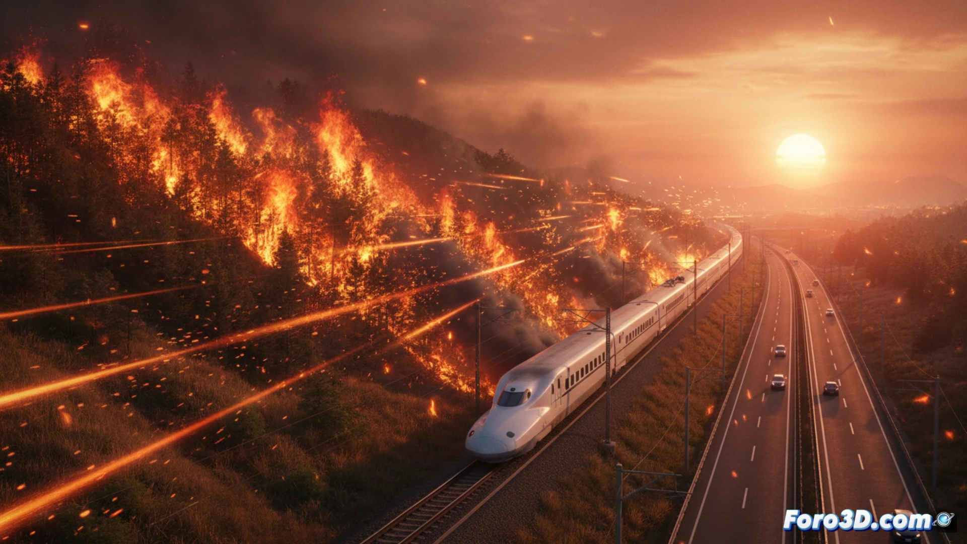
On May 17, 2026, a forest fire in Akasaka-cho, Fukuyama, started in dry grass and escalated towards the mountains through flying embers. Reported at 2:30 p.m., with no injuries or damage to homes according to the local fire department at 4:50 p.m., the incident threatens critical infrastructure such as the Sanyo Shinkansen line and the Sanyo Expressway. This event requires modeling the fire's progression to train emergency responses.
Modeling topography and ember dispersion in Akasaka-cho 🔥
To recreate the progression, one must start from a digital elevation model of the mountainous area of Akasaka-cho, integrating data on prevailing southwest winds that facilitated the ember jump. The 3D simulation must calculate the trajectory of incandescent particles from the dry grass, evaluating their density and temperature upon impacting slopes. It is crucial to map safety distances relative to the Sanyo Expressway and the Shinkansen track, incorporating meteorological data from the fire department to predict secondary hotspots and optimize the allocation of firefighting resources.
Lessons for emergency management in infrastructure 🚆
This fire reveals the vulnerability of transportation corridors to wildfires starting in grasslands. The 3D visualization of the spread allows emergency managers to rehearse virtual firebreaks and railway evacuation plans. By replicating the real scenario, blind spots in surveillance are identified, and coordination between firefighters and expressway operators is improved. The key is to turn each flying ember into training data to save lives and protect vital routes.
Would you export the results to GIS format? 🗺️