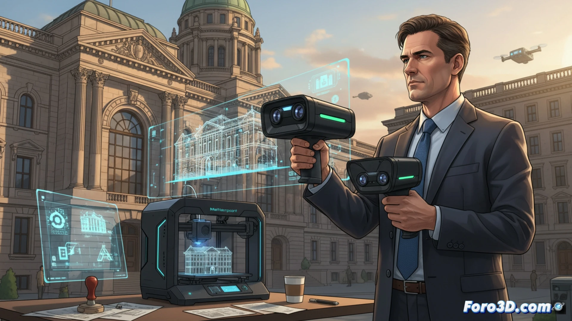
3D technology can transform bureaucracy. A land registry official, for example, can scan an old building with a portable 3D scanner and generate an exact digital model. This avoids manual measurements and reduces errors in records. The necessary programs are modeling software like Blender or Fusion 360, and a scanner like the Matterport Pro2.
Digitization of plans with parametric modeling 🏗️
For an urban planning official, the workflow includes using a drone with photogrammetry (like the DJI Phantom 4 RTK) to capture the terrain. Then, with software like RealityCapture or Meshroom, a point cloud is generated. That mesh is imported into AutoCAD or FreeCAD to verify alignments with the original project. The result: precise technical reports without the need for constant site visits.
When the 3D model is more useful than a little coffee ☕
Imagine the licensing official: before, they argued with a neighbor over a centimeter of fence; now they show them the 3D model on the tablet. The neighbor falls silent, the boss nods, and the coffee stays hot. Plus, by printing a model of the district, people think you're a tech genius. The reality: you just learned how to use the export button.