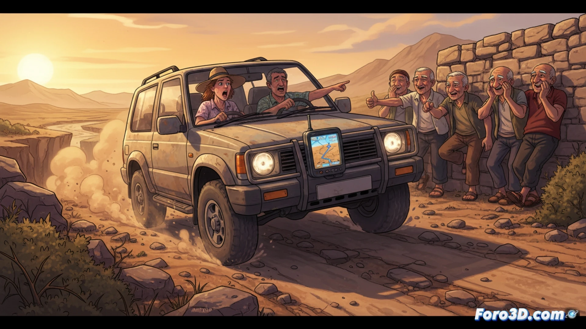
Summer, heat, and a route that promised coastline and sea breeze. But your GPS, that digital friend that never fails, diverts you down a dirt path only goats know. As the car bounces over rocks and dust seeps through the windows, locals watch from their porches with that smile that clearly says: I told you so, stranger.
The algorithm that confuses asphalt with a footpath 🗺️
The problem is not the destination, but the logic of the navigator. Digital maps prioritize direct routes over passable roads, ignoring real user ratings or topographical data. A goat path appears as a viable shortcut because the software cannot distinguish between compacted gravel and loose bedrock. The lack of updates in rural areas and reliance on generic data turn your coastal trip into an unsolicited off-road expedition.
The local's smile: the true human GPS 😏
While you sweat trying to make a three-point turn on a 2-meter-wide track, the village elder approaches and asks if you're looking for the goatherd's beach. It turns out they've never needed GPS; for generations they've used the foolproof trick of asking the neighbor. And as your car smokes, he points you in the right direction with a hand gesture, adding: next time, put down the app and roll down the window to smell the sea.