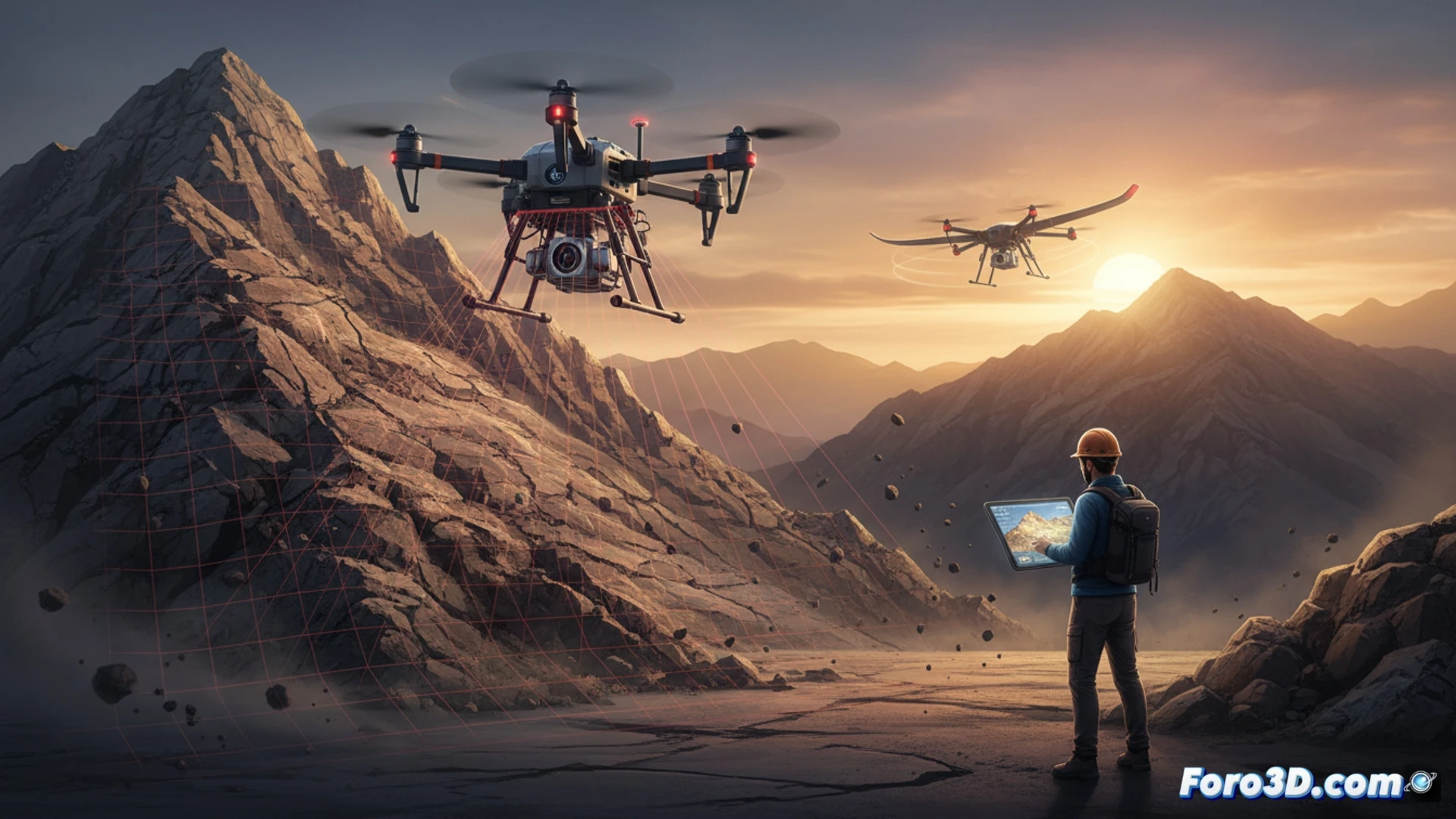
The field work of a geologist involves real risks: falls on steep terrain, landslides, exposure to extreme climates, and dangerous wildlife. Every trip to an unstable slope or remote ravine is a gamble on the professional's safety. However, the integration of 3D technologies such as drones, LiDAR, and photogrammetry is transforming this reality. These tools allow capturing terrain data without physically stepping into the most compromised areas, drastically reducing exposure to hazards.
Remote scanning as a substitute for physical inspection 🏔️
Instead of sending a geologist to climb an unstable slope to assess landslides, a drone equipped with a LiDAR sensor can generate a precise point cloud from a safe distance. Aerial photogrammetry documents terrain cuts and rock formations without the professional approaching the edge. Even the use of hammers and sample collection in areas with dangerous projections are minimized, as the 3D model allows analyzing lithology and fractures virtually. This methodology not only protects the worker but also accelerates decision-making in surveying and geomatics projects.
Technology that anticipates danger, not just documents it 🛡️
Beyond replacing the physical visit, these technologies allow anticipating risks. A digital terrain model generated from flight data can identify areas of high slope or instability before the geologist sets foot on the site. In regions with dangerous wildlife or adverse climates, remote scanning avoids hours of unnecessary exposure. Data precision is not lost; on the contrary, coverage and detail are gained. The occupational safety of the geologist no longer depends solely on their protective equipment, but on the intelligence of the sensors working for them.
As a field geologist, when integrating drones with LiDAR into your workflow, what has been the most significant change in safety or precision you have observed when replacing traditional mapping methods in high-risk terrains?
(PS: 3D topography is like making a treasure map, but the treasure is a precise model.)