The Amazon, far from being a virgin and untouched territory, hides beneath its plant canopy an architectural legacy of colossal proportions. The geoglyphs, enormous geometric earth structures forming perfect squares, circles, and hexagons, have come to light thanks to massive deforestation. For digital archaeology, this discovery represents a technical challenge and a unique opportunity: to virtually document and preserve these forms before they disappear under the advance of the agricultural frontier.
Documentation with drones and aerial photogrammetry 🛸
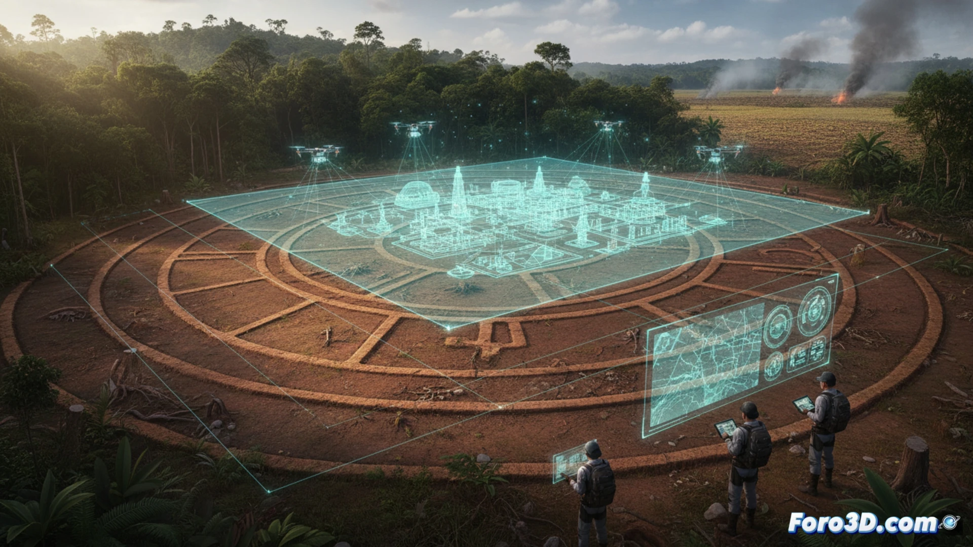
The main challenge in recording these geoglyphs is their scale, reaching up to 300 meters in diameter, and their location in hard-to-reach areas. Research teams have resorted to using drones equipped with high-resolution cameras to capture hundreds of aerial zenith images. Through Structure from Motion photogrammetry processes, these images are assembled into detailed orthophotos and digital elevation models with centimeter precision. LiDAR mounted on drones or light aircraft also allows filtering residual vegetation and generating a bare-earth model, revealing the exact topography of the ditches and embankments that make up the figures. This workflow enables the creation of digital twins that can be analyzed from any angle to study design patterns and astronomical orientation.
The legacy that deforestation unveils 🌿
The paradox is bitter: the same human activity that destroys the forest is allowing the discovery of the traces of the societies that inhabited it. The 3D models not only confirm the existence of hundreds of interconnected structures linked by elevated roads but also demonstrate a capacity for planning and community work that challenges the narrative of a sparsely populated Amazon. Digital archaeology here is not a simple recording tool; it is the only resource to preserve the memory of these cultures in the face of the unstoppable advance of the agricultural frontier.
What scanning and 3D modeling techniques have allowed the identification and documentation of Amazonian geoglyphs under dense vegetation, and how these reveal the existence of a lost civilization in the Amazon
(PS: If you dig at a site and find a USB, don't plug it in: it could be malware from the Romans.)