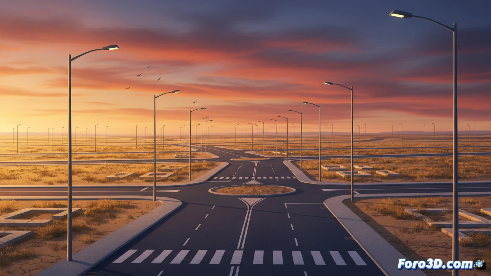
The 2008 crisis left in Zaragoza a unique phenomenon: the Arcosur Streetlight Desert. A complete neighborhood with sidewalks, asphalt, lighting, and sewage networks, but without a single inhabited building. This landscape of ghost infrastructure is the perfect canvas for a digital twin. We analyze how to replicate this environment to simulate its reactivation, assess the impact of the real estate collapse, and plan intelligent urban growth from scratch. 🏙️
Data capture and modeling of ghost infrastructure 🛰️
The first step to create the digital twin of Arcosur is massive data capture. A drone equipped with LiDAR would fly over the 200 hectares to generate a precise point cloud of the terrain, roadways, and streetlights. Simultaneously, a multispectral camera would document the condition of the concrete and asphalt. With this data, the existing infrastructure is modeled in 3D: pipes, manholes, and the electrical grid. The result is a BIM (Building Information Modeling) file that reflects the complete skeleton of the city, ready to be populated with virtual buildings in subsequent simulations.
Scenario simulation for urban reactivation 🏗️
With the operational digital twin, the city council and developers can run impact simulations. For example, virtually injecting 5,000 homes to measure traffic, the shadow cast on solar panels, or water demand. It is also possible to recreate the 2008 crisis scenario to analyze how the economic downturn affected urban morphology. This virtual laboratory allows for informed decision-making to avoid future streetlight deserts and ensure sustainable and resilient development.
How you can model in a digital twin the transition from a streetlight desert to a functional urban ecosystem without altering the already built infrastructure
(PS: My digital twin is right now in a meeting, while I am here modeling. So technically, I am in two places at once.)