The recent ground failure at a mining deposit has once again highlighted the fragility of these infrastructures in the face of geotechnical phenomena. Beyond the news, this event represents a critical case study for prevention engineering. The question is no longer just if it will happen, but how we can model and predict the disaster with millimeter precision before it is too late.
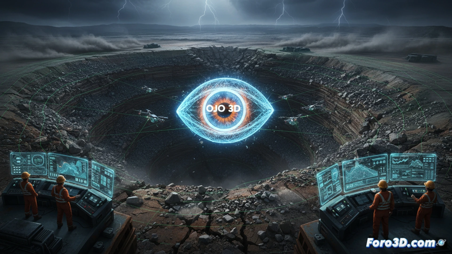
Drone Photogrammetry and LiDAR: The Digital Autopsy of the Terrain 🛰️
Technical documentation of a failure of this magnitude requires a non-invasive but high-resolution approach. Aerial photogrammetry with drones allows generating dense point clouds of the affected area within hours, capturing cracks and surface displacements. Complementarily, terrestrial or airborne LiDAR scanning penetrates vegetation and maps the underlying topography. This data feeds digital twins that simulate the behavior of the rock mass, allowing engineers to visualize the progression of the landslide and calculate the volume of displaced material, just as was done after the Brumadinho tailings dam collapse, where 3D modeling revealed the dynamics of the mudflow.
Digital Twins: Simulating the Future to Avoid Catastrophe 🧠
The true advantage of 3D modeling is not just documenting the past, but anticipating the future. By integrating data from tilt sensors, piezometers, and rainfall measurements into a digital twin, technical teams can run simulations of critical scenarios. If the model detects an acceleration in slope deformation under heavy rainfall, the early warning is triggered. In mines like Chuquicamata, the continuous use of these digital replicas has allowed for redesigning slopes and relocating infrastructure, transforming a latent risk into manageable data.
How does 3D modeling integrate with real-time geotechnical data to accurately predict the tipping point of a catastrophic failure in a mining deposit?
(PS: Simulating catastrophes is fun until the computer crashes and you are the catastrophe.)