3D technology is transforming the job of the excavator operator, moving from intuition to millimeter precision. With digital terrain models, the operator can see on screen what is happening under the bucket, avoiding over-excavation and unnecessary earthmoving. This saves time, fuel, and reduces the risk of costly errors on site.
3D Modeling and Real-Time Machine Control 🚜
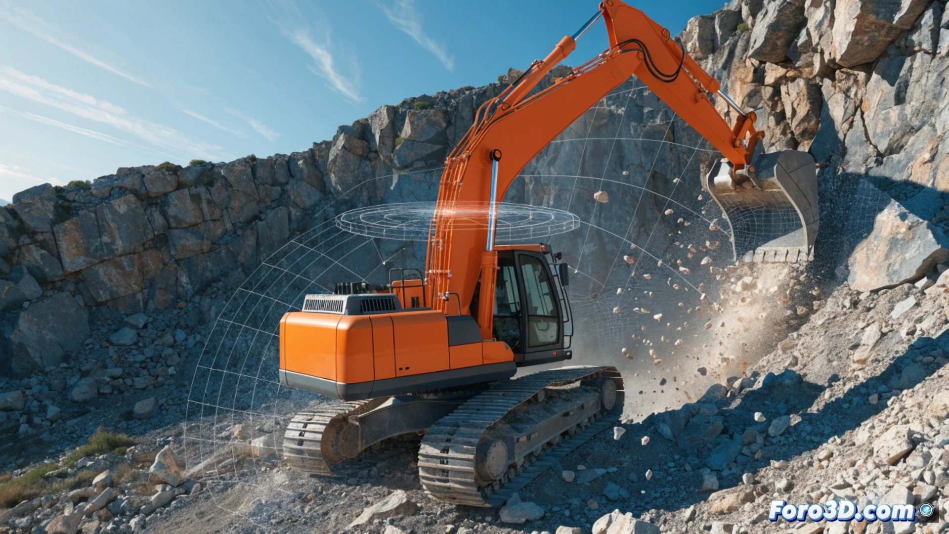
3D machine control systems integrate a digital model of the project (for example, a trench or an earthwork) with GPS sensors and inclination sensors on the excavator. The operator sees on a tablet or onboard monitor the exact position of the bucket relative to the design. Key software: Trimble Earthworks, Leica iCON grade, Topcon MC-Mobile. The typical example: excavating a 2% slope without needing stakes or a surveyor at every point.
Goodbye Eyeballing, Hello Muddy Tablet 📱
Before, the veteran operator boasted about calculating slopes by looking at the horizon and spitting on the ground. Now it turns out that a tablet with GPS corrects their posture and tells them they are 5 cm over in the trench. Sure, the tablet doesn't handle coffee well or the bad jokes of the laborer, so eyeballing is still useful for knowing where you left your thermos.