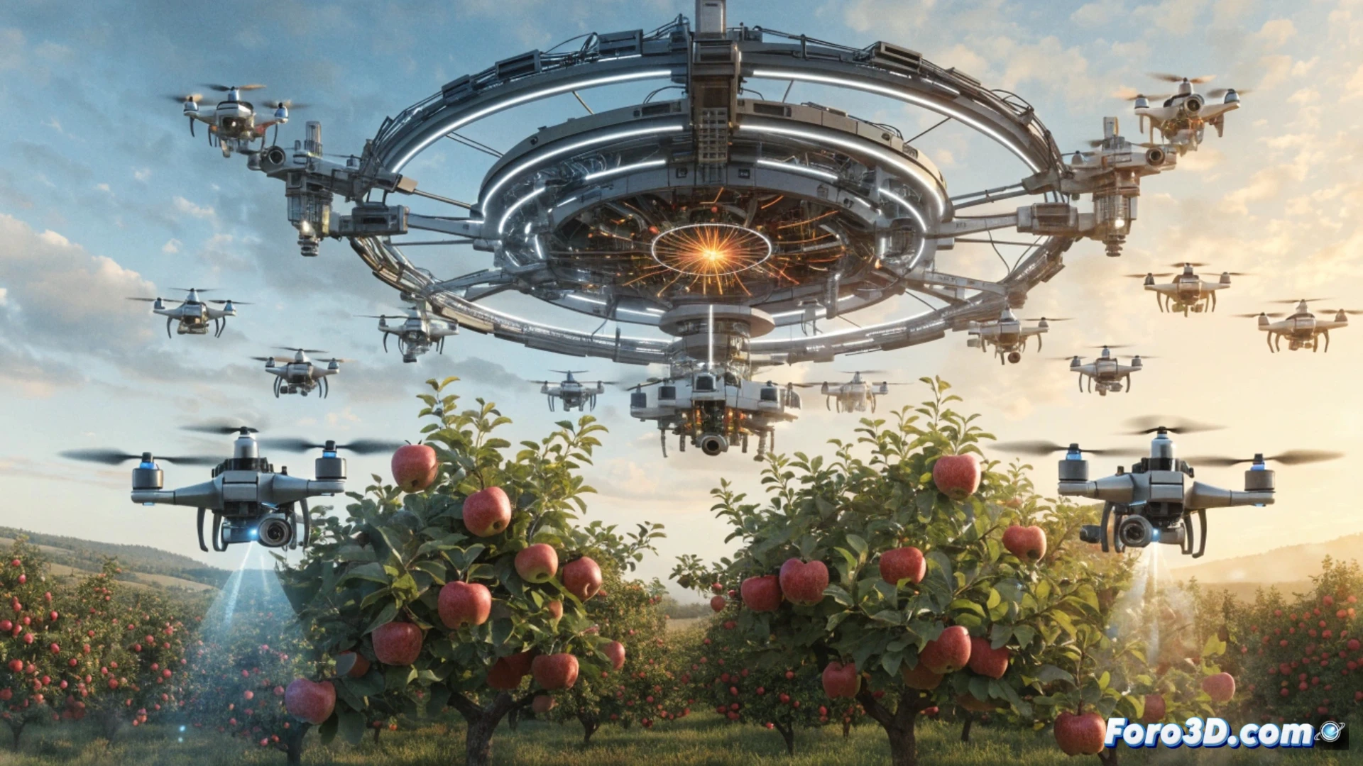
3D technology is transforming the craft of the agricultural harvester, allowing for optimized times and reduced losses. With LiDAR sensors and photogrammetry, a field can be mapped in minutes, identifying ripe fruit or hard-to-reach areas. This does not replace labor, but makes it more precise. A clear example is the use of a drone with a 3D camera to locate avocados ready for harvest, avoiding inefficient manual inspections.
Key programs for crop mapping 🌱
To implement this aid, you need point cloud processing software like CloudCompare or Agisoft Metashape, which convert drone images into 3D terrain models. Also precision agriculture programs like QGIS, which analyzes fruit ripeness based on color and height. The drone must carry a LiDAR sensor (like the DJI Zenmuse L1) or a multispectral camera. The flow is simple: flight, data capture, PC processing, and export of a map with GPS coordinates for the harvester.
When the tractor goes geek 🤖
Now it turns out that to be a harvester, knowing when a tomato is red is no longer enough; you have to master the art of not crashing a drone into an orange tree. And watch out, because if you misconfigure the LiDAR, the map will tell you the harvest is in the neighbor's plot. The worst part is when the software updates right in the middle of the season and you're left staring at a spinning 3D cube while the fruit rots on the tree. Good thing the field still smells like earth, not code.