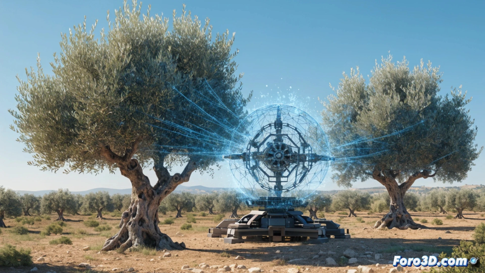
Olive growing is not immune to the digital revolution. 3D technology allows mapping each tree with millimeter precision, detecting its volume, canopy density, and water status. This translates into more efficient pruning and irrigation adjusted to the real needs of each plant, reducing costs and improving the harvest.
3D modeling and data: the olive grove on your screen 🌿
A drone equipped with a LiDAR camera flies over the farm and generates a point cloud. Software like Agisoft Metashape or Pix4Dmatic processes the three-dimensional model of the olive grove. Tools like QGIS allow analyzing variables: tree height, canopy volume, and sun exposure. The result is a vigor map that guides selective pruning and localized fertilization. The farmer decides with objective data, not by eye.
The olive tree that takes a selfie to avoid being pruned 🤖
Now the olive tree has its own plant Tinder profile. You do a 3D scan and it tells you: don't touch me today, I'm busy photosynthesizing. The problem is that when you show the model to your grandfather, he looks at you with the same face as if you showed a cell phone to a cat. But hey, while he argues with the branch, you already know which one to cut. And without climbing the ladder.