3D technology is transforming the profession of forest rangers. Using drones with LiDAR sensors, three-dimensional terrain maps can be generated to detect early-stage fires, locate invasive species, or plan firefighting routes. A clear example: scanning 500 hectares in one hour, something that would take weeks on foot. Programs like Pix4Dmatic or Agisoft Metashape process the point clouds.
LiDAR and photogrammetry: the digital eye of the forest ranger 🌲
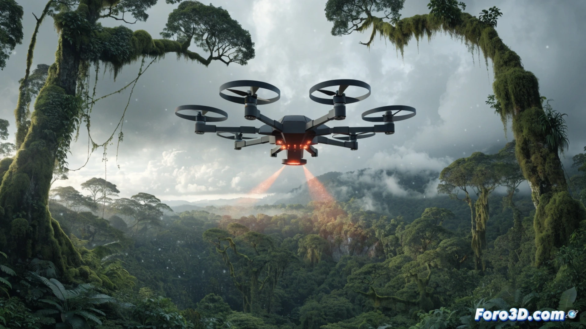
The key hardware is a DJI Matrice 350 RTK drone coupled with an L1 LiDAR sensor. It flies at 80 meters, emitting 240,000 laser pulses per second. Global Mapper software converts those points into elevation models with 5 cm accuracy. QGIS is also used to analyze vegetation: it detects fallen trees or changes in understory density. Everything is synchronized in real-time with a water-resistant tablet.
Goodbye to the grimy map, hello to the 3D model that doesn't get wet 🗺️
Before, the forest ranger carried a folded paper map that looked like an accordion after the first rain. Now, with the 3D model on their tablet, they can see exactly where that lost squirrel is. The downside: if the drone falls into the river, 3D technology is useless. But hey, at least the paper map no longer gets wet.