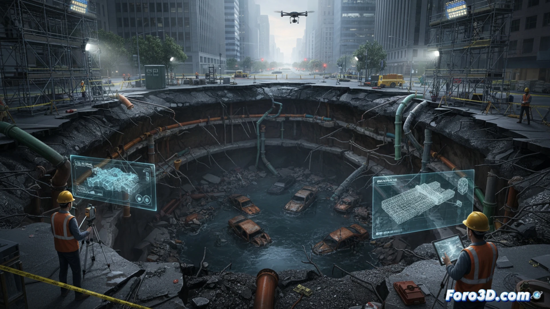
The Main Avenue woke up split in two. A sinkhole of alarming proportions swallowed the asphalt, exposing a geological wound in the heart of the city. This phenomenon, far from being a simple pothole, is a structural collapse combining subsurface failures, outdated sewage networks, and the hydrostatic pressure of filtered water. Analyzing it from a forensic engineering perspective is the first step to understanding its origin.
Photogrammetry and LiDAR: The Digital Autopsy of the Terrain 🛰️
Technical documentation of a sinkhole requires millimeter precision. This is where 3D technologies make the difference. Using drone-based photogrammetry, a point cloud is generated that captures every crack and unevenness on the surface. LiDAR scanning, on the other hand, penetrates the cavity to map underground strata and detect hidden voids. With this data, engineers calculate the exact volume of displaced material (sometimes hundreds of cubic meters) and simulate erosion vectors. Cases like the collapse of 9th Street in Mexico City in 2021 or the giant sinkhole in Guatemala in 2010, documented with this technology, showed that sewer leaks act as triggers by liquefying clay soil.
Lessons in Concrete and Algorithms 🧱
The sinkhole is not just a road repair problem, but a warning about the fragility of buried infrastructure. Every 3D model generated during the crisis is a forensic record that allows planning the injection of cement grout into the subsoil and designing a reinforcement slab to distribute loads. Recovering the Main Avenue is not just about filling a hole; it is about rewriting the contract between the city and the ground that supports it, using three-dimensional data to prevent the next rupture from being even deeper.
How can 3D modeling based on geotechnical data predict the propagation path of an urban sinkhole and help design real-time mitigation strategies?
(PS: Simulating disasters is fun until the computer crashes and you are the disaster.)