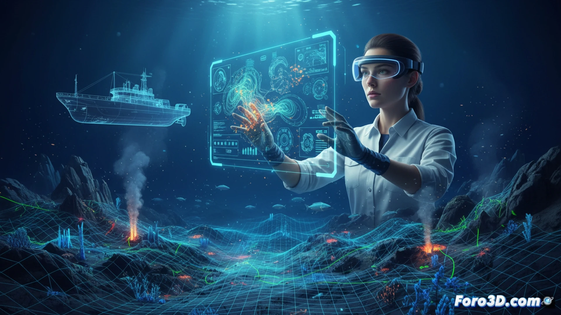
Oceanography studies vast aquatic spaces that are difficult to visualize. 3D technology allows modeling the seafloor, currents, and ecosystems with real data. A clear example: reconstructing submarine canyons to predict sediment flows. Programs like Blender, QGIS, and Fledermaus are essential for transforming bathymetric data into navigable models.
From sonar to model: the technical workflow 🌊
The process begins with data from multibeam echosounders or autonomous underwater vehicles (AUVs). These .xyz or .las files are imported into QGIS to clean noise and georeference. Then, Fledermaus generates detailed 3D surfaces of the ocean floor relief. For animations or current simulations, Blender is used with Python scripts that interpolate temperature and salinity data. The result: a digital model that the oceanographer can rotate, measure, and analyze without getting wet.
When GPS fails and the pufferfish saves you 🐡
Not everything is precision. Sometimes the 3D model shows a submarine canyon where there is only a tuna can. Or the AUV decides to explore a jellyfish school instead of the bottom. But hey, if an inflated pufferfish appears in the point cloud, at least you have content for the report. The golden rule: if your render looks like a Martian landscape, you probably forgot to calibrate the sonar.