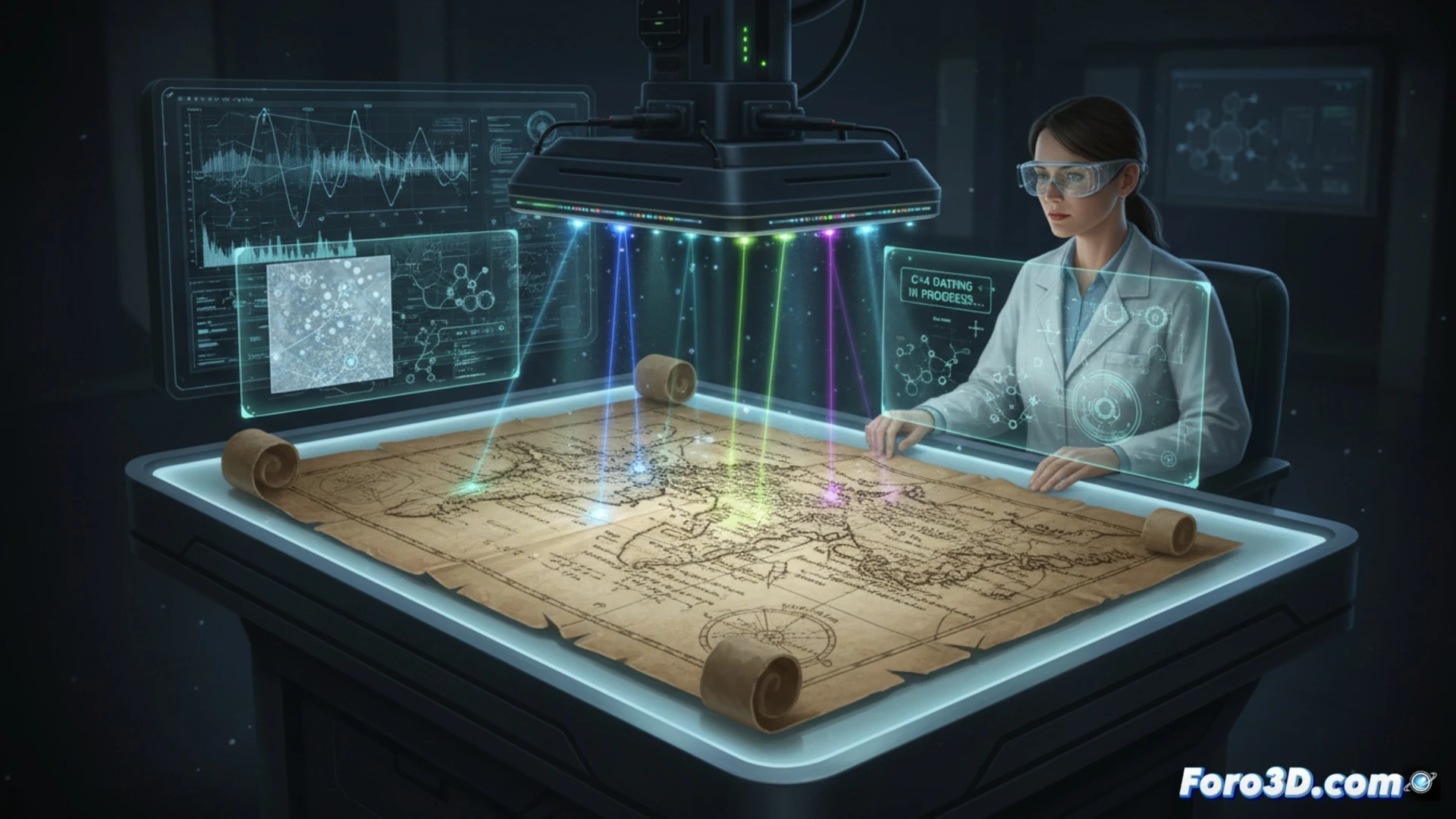
The Vinland Map, a parchment depicting a portion of North America decades before Columbus, has divided historians for over 60 years. Now, Digital Archaeology is taking over. Using Raman spectroscopy, carbon-14 dating, and pigment analysis with electron microscopy, experts seek to debunk the legend or confirm the greatest cartographic discovery in history.
3D reconstruction and spectral analysis of the parchment 🧪
The key to solving the mystery lies in microstratigraphy. Researchers have used multispectral scanners to break down the ink into layers invisible to the human eye. The 3D reconstruction of the support allows measuring the thickness of the parchment and detecting irregularities typical of a forgery. Furthermore, digital comparison with other authenticated medieval maps, such as the Catalan Atlas, reveals writing patterns and strokes incompatible with 15th-century technique. Chemical analysis has detected anatase, a titanium compound that should not exist in inks prior to 1920, casting doubt on its Viking origin.
3D technology as the ultimate judge 🔍
Digital Archaeology not only uncovers forgeries; it also offers a unique opportunity to preserve heritage without damaging it. If the map turns out to be a modern copy, its digital twin will serve as a reference for studying historical forgery techniques. If, on the contrary, its authenticity is proven, the 3D model would allow researchers worldwide to analyze every fiber of the parchment without moving it from its vault. The truth, ultimately, lies not in the ink, but in the pixels that reveal it.
What is the true technological challenge in applying digital scanning to determine the authenticity of a medieval map like the Vinland Map, beyond mere parchment dating?
(PS: and remember: if you can't find a bone, you can always model it yourself)