A Spanish expedition has rewritten the history of Saharan exploration by proving that the Hungarian count László Almásy, immortalized in The English Patient, mislocated the legendary Zerzura oasis. By cross-referencing 19th-century maps, Bedouin testimonies, and satellite data, the team has shifted the myth's location to an unknown area of Chad. This finding not only corrects a 90-year-old cartographic error but also demonstrates how digital technology can solve enigmas that classical exploration left unfinished.
Digital methodology: from paper map to terrain model 🗺️
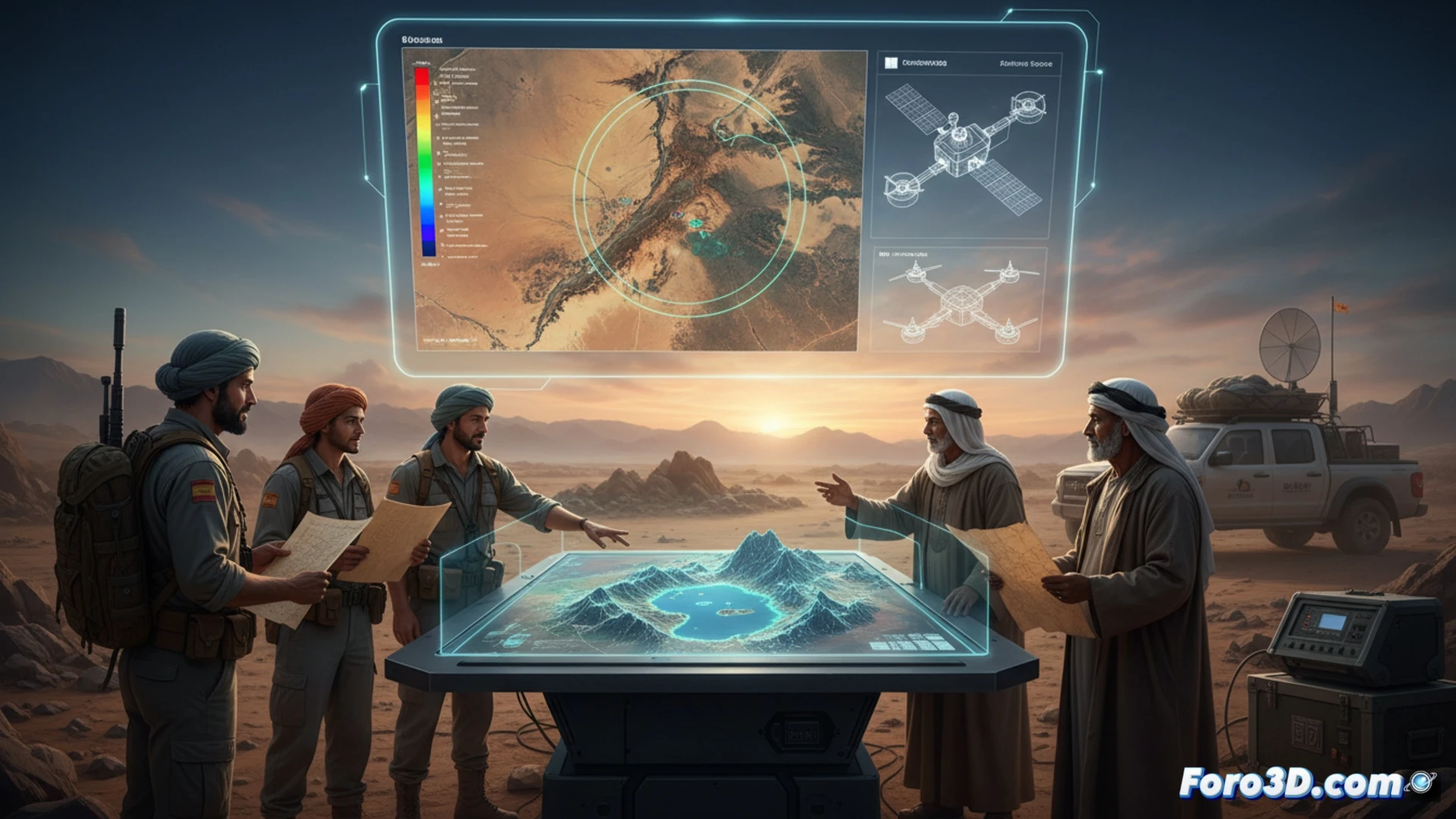
The team combined three key techniques to detect the real Zerzura. First, they applied aerial photogrammetry with long-range drones to generate a 3D model of the terrain in the area indicated by Almásy, finding that the rock formations did not match the descriptions of the nomads. Second, they analyzed multispectral satellite images in the near-infrared to detect buried vegetation or ancient riverbeds hidden beneath the sand. Third, they performed a digital georeferencing of the Hungarian explorer's historical maps, overlaying them with current orthophotography to identify a projection error of more than 40 kilometers. The result was a virtual reconstruction of the landscape pointing to a new valley with remains of ancient settlements.
Lessons for 21st-century archaeology 🏛️
This case demonstrates that digital archaeology does not replace the explorer but rather enhances their perspective. Almásy failed because he relied on oral tradition and visual orientation in a changing desert. Today, 3D terrain modeling and spectral analysis allow us to correct these human biases. The true Zerzura may not be a city of gold, but a system of fossil aquifers and ancient wadis that technology has made visible. The myth persists, but now it has exact coordinates.
How has the combination of 3D photogrammetry and satellite technology proven that Count Almásy was wrong in his maps of the Sahara, and what implications does this finding have for the digital archaeology of the desert?
(PS: If you dig at a site and find a USB drive, don't plug it in: it could be Roman malware.)