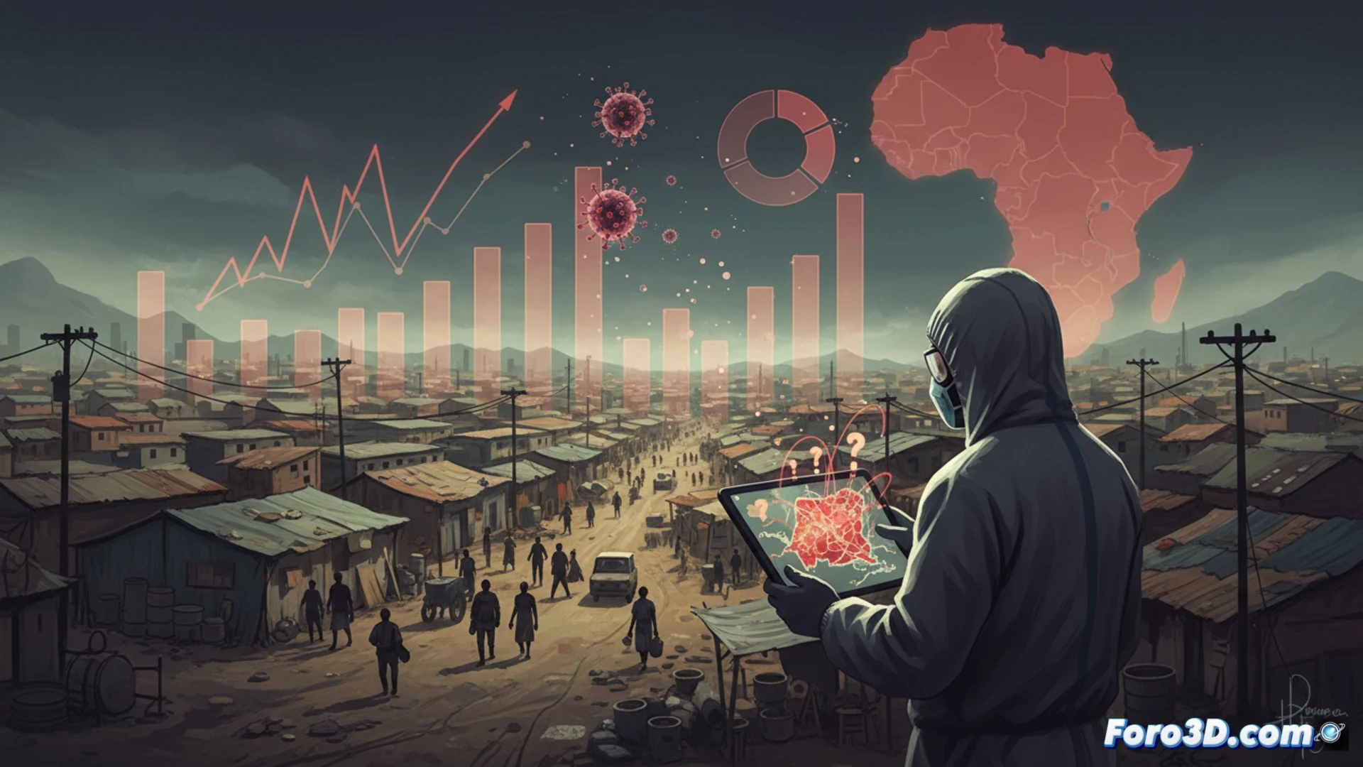
Calculating the true magnitude of the Ebola outbreak in the Democratic Republic of the Congo is like trying to count fish in a muddy river. Researchers face an epidemic with many unknowns: population mobility, local sanitary conditions, and international response capacity. These factors turn any prediction into a high-risk exercise.
Tracking technology: the challenge of mapping contagion 🦠
To track the virus, teams use mobile databases and geolocation, but network coverage in rural areas is limited. Contact tracing relies on manual surveys and paper records, a slow method compared to the virus's speed. Without robust digital systems, each new case is a leap into statistical uncertainty.
The virus doesn't understand quarantines: chronicle of a foretold chaos 🚨
While experts debate mathematical models, Ebola travels by motorcycle, canoe, or on foot, without asking WHO for permission. The local population, fed up with restrictions, organizes mass funerals as if they were social events. In the end, the greatest risk of spread is not the virus, but human creativity in breaking the rules.