The collapse of the slope in San Esteban has created a scenario of geotechnical ruin that demands precise forensic analysis. Beyond visual inspection, digital reconstruction through photogrammetry and LiDAR scanning stands as the definitive tool for capturing the geometry of the disaster. This article explores how 3D modeling allows engineers and geologists to dissect the structural failure, quantify the displaced volume, and plan a data-driven restoration, not one based on assumptions.
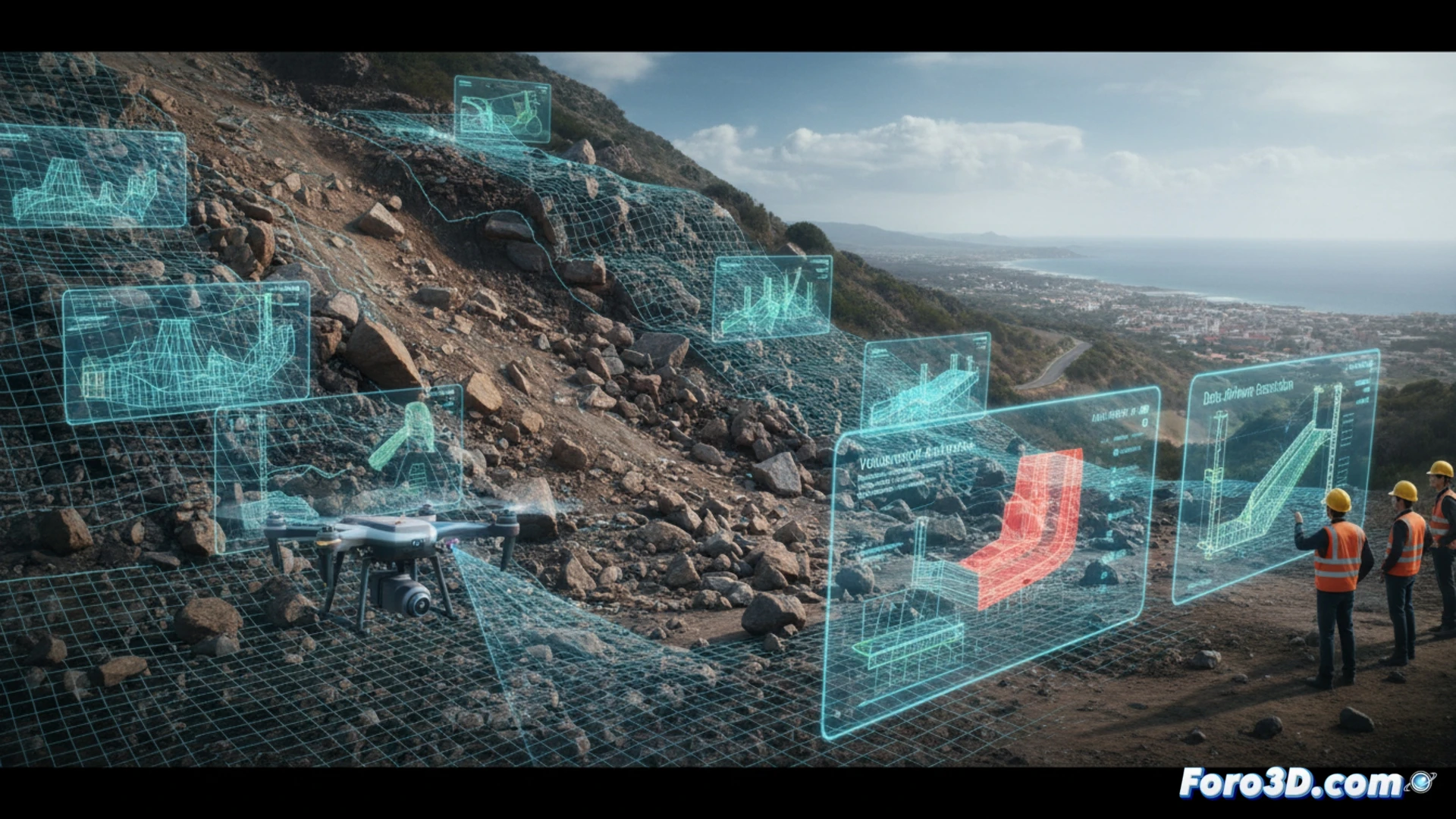
Technical Workflow: Capture and Digital Twin 🏗️
The process begins with on-site capture using drones equipped with LiDAR sensors and high-resolution cameras. The programmed flight generates a dense point cloud of the collapsed slope and the intact crown. Subsequently, photogrammetry software processes the images to create a textured mesh model, while LiDAR data provides millimeter precision in shadowed areas or dense vegetation. Overlaying this post-collapse model with a previous survey or historical topographic data allows for calculating the exact volume of dislodged material, identifying failure planes, and simulating residual stresses. This digital twin becomes the foundation for geomechanical studies and for designing containment solutions that respect the environment.
Preserving the Ruin to Understand the Future 🧩
Documenting a collapse is not just a technical act, but a way to preserve the memory of the failure. The 3D model of San Esteban allows experts to revisit the collapse from any angle, measuring processes that are imperceptible to the naked eye. This methodology transforms a destructive event into a lasting digital lesson. For the ruin reconstruction community, each point cloud is a testimony that helps predict future behaviors and restore the landscape with the fidelity that only 3D technology can offer.
Which 3D scanning and geotechnical modeling methodologies are most effective for documenting and analyzing the collapse of the San Esteban slope, allowing differentiation between the triggering factors of the collapse and the subsequent deterioration processes?
(PS: Reconstructing ruins is like doing a puzzle without knowing how many pieces are missing. But at least you can make up the missing ones.)